
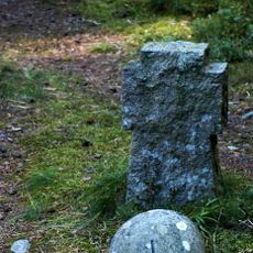
Limset
Location: Nannestad Municipality
GPS coordinates: 60.28056,11.10383
Latest update: April 21, 2025 20:57
Trandumskogen
6.9 km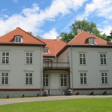
Eidsvollsbygningen
4.3 km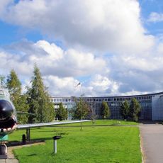
Norwegian Armed Forces Aircraft Collection
10.4 km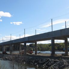
Minnevika Railway Bridge
14.5 km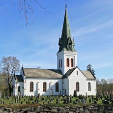
Eidsvoll Church
9.1 km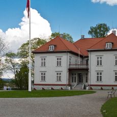
Eidsvoll 1814
4.4 km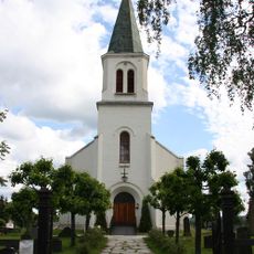
Råholt Church
4.2 km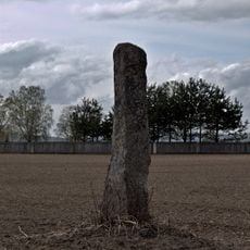
Vigsteinen
7.8 km
Bjørke Church
7.2 km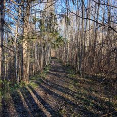
Romerike landskapsvernområde
12.7 km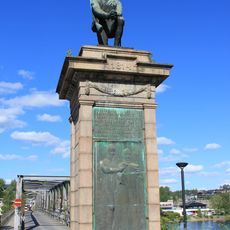
Den knelende soldat
9.8 km
Hurdal Church
14.6 km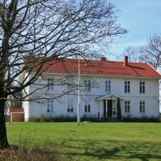
Eidsvoll prestegård
9 km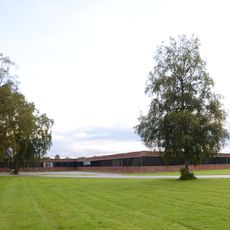
Nannestad ungdomsskole
8.6 km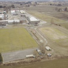
Myhrer stadion
8.7 km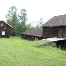
Eidsvoll bygdetun
7.9 km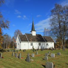
Stensgård Church
908 m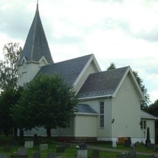
Mogreina Church
7.8 km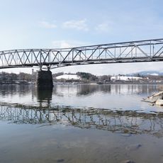
Sundbrua
9.9 km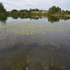
Ljøgodttjern
14.9 km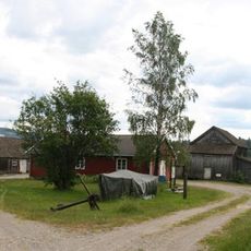
Mjøssamlingene
14.8 km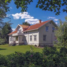
Hurdal parsonage
14.8 km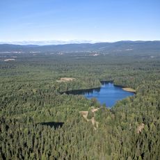
Aurmoen
5.2 km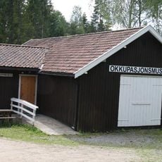
Eidsvoll okkupasjonsmuseum
7.9 km
Nannestad prestegård
8.9 km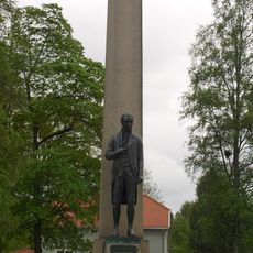
Carsten Anker-monumentet
4.3 km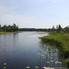
Jøndalsåsen med flere tjern og vann dyrelivsfredning
14 km
Aurmoen
5.2 kmReviews
Visited this place? Tap the stars to rate it and share your experience / photos with the community! Try now! You can cancel it anytime.
Discover hidden gems everywhere you go!
From secret cafés to breathtaking viewpoints, skip the crowded tourist spots and find places that match your style. Our app makes it easy with voice search, smart filtering, route optimization, and insider tips from travelers worldwide. Download now for the complete mobile experience.

A unique approach to discovering new places❞
— Le Figaro
All the places worth exploring❞
— France Info
A tailor-made excursion in just a few clicks❞
— 20 Minutes