Bygningsruin
Location: Færder Municipality
GPS coordinates: 59.20121,10.43928
Latest update: November 17, 2025 00:58
Ulvøtangen
1.1 km
Torød
1.8 km
Skjerve øvre
1.8 km
AKERUP, AGERUP
1.6 km
SAND NORDRE
2.3 km
Buberg
1.9 km
Vetan
2.8 km
Knøtshula
2.4 km
Høgås
2.7 km
ビェルコの石碑
1.6 km
Gravminne
2 km
Ekenes vestre
2.9 km
Semsåsen
2 km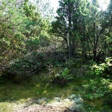
Semsåsen
1.9 km
Vardås
793 m
Hovland
2.4 km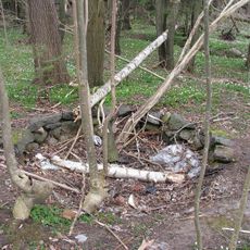
Brønn/kilde/vannpost
50 m
KJØLE MELLOM
1.2 km
Meumsåsen
2 km
Bosetning-aktivitetsområde
1.6 km
Merkestein
1.8 km
Strengsdal
2.7 km
Meum*
1.9 km
Tjuvåsen
1.6 km
Ekenes østre
2.9 km
Brødrene Hanssens auto
2.8 km
Vardåstoppen
801 m
Glanern
1.8 kmReviews
Visited this place? Tap the stars to rate it and share your experience / photos with the community! Try now! You can cancel it anytime.
Discover hidden gems everywhere you go!
From secret cafés to breathtaking viewpoints, skip the crowded tourist spots and find places that match your style. Our app makes it easy with voice search, smart filtering, route optimization, and insider tips from travelers worldwide. Download now for the complete mobile experience.

A unique approach to discovering new places❞
— Le Figaro
All the places worth exploring❞
— France Info
A tailor-made excursion in just a few clicks❞
— 20 Minutes