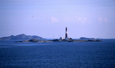
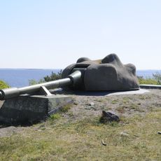
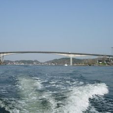
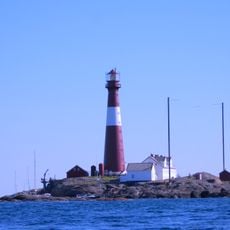
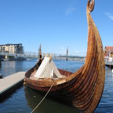
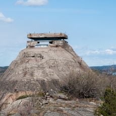
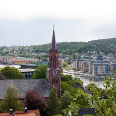
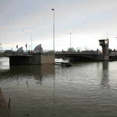
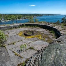
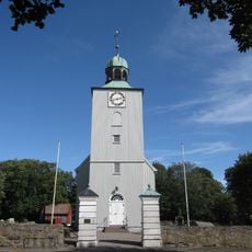
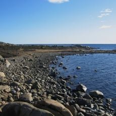
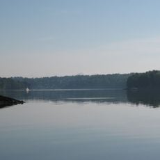
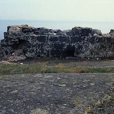
Færder, municipality in Vestfold og Telemark, Norway
Location: Vestfold og Telemark
Inception: January 1, 2018
Capital city: Borgheim
Shares border with: Tønsberg Municipality, Sandefjord Municality
Website: https://faerder.kommune.no
GPS coordinates: 59.22000,10.41000
Latest update: March 2, 2025 23:52
Færder Lighthouse
22.5 km
Bolærne Fort
9.3 km
Vrengenbrua
6 km
Færder National Park
9.7 km
Saga Oseberg
5 km
Torås Fort
16.1 km
Tønsberg Cathedral
5.5 km
Tønsberg canal bridge
4.5 km
Ytre Oslofjord
12 km
Nøtterøy Church
1.1 km
Fulehuk Lighthouse
11.9 km
Søndre Slagen Church
5.8 km
Tønsberg og Færder bibliotek
5.1 km
Håøya Fort
5.9 km
Vallø Church
6.7 km
St. Olav's Abbey, Tønsberg
5.2 km
Kaldnes
4.8 km
Moutmarka
17 km
Mariakirken i Tønsberg
5.3 km
Tønsbergfjorden
6.9 km
Hollenderbåen
14 km
Store Færder Lighthouse
18.2 km
Signaturen
5.2 km
Borgheim ungdomsskole
647 m
Gamle Ormelet
12.2 km
Byfjorden
5.8 km
Røssesund Bridge
13.1 km
St. Olav Church
5.2 kmReviews
Visited this place? Tap the stars to rate it and share your experience / photos with the community! Try now! You can cancel it anytime.
Discover hidden gems everywhere you go!
From secret cafés to breathtaking viewpoints, skip the crowded tourist spots and find places that match your style. Our app makes it easy with voice search, smart filtering, route optimization, and insider tips from travelers worldwide. Download now for the complete mobile experience.
A unique approach to discovering new places❞
— Le Figaro
All the places worth exploring❞
— France Info
A tailor-made excursion in just a few clicks❞
— 20 Minutes