
Sobin, Lower Silesian Voivodeship, village of Poland
Location: Gmina Polkowice
Elevation above the sea: 145 m
GPS coordinates: 51.47472,16.02750
Latest update: March 13, 2025 02:39
Our Lady of the Rosary church in Trzmielów
5.4 km
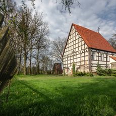
Heinzenburg
3 km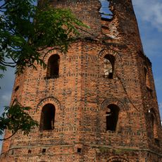
Dutch mill in Polkowice
4.4 km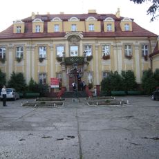
Palace in Szklary Górne
5.9 km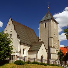
Saint Michael Archangel church in Polkowice
4.1 km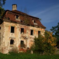
Palace in Parchów
5.6 km
Palace in Sieroszowice
8.1 km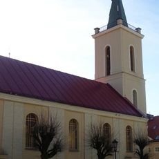
Saint Barbara church in Polkowice
4.2 km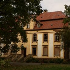
Palace in Sucha Górna
7.2 km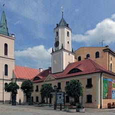
Polkowice Town Hall
4.2 km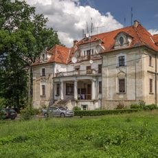
Palace in Kaźmierzów
8 km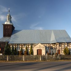
Sint-Hyacinthuskerk
7.6 km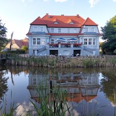
Pałac Bądzów
10.7 km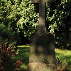
Churchyard of Saint Michael Archangel church in Sobin
242 m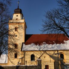
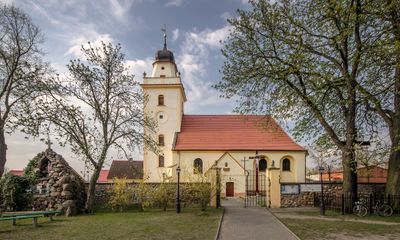
Saint Michael Archangel church in Sobin
251 m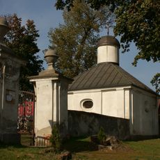
Cemetery in Parchów
5.5 km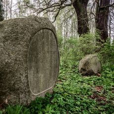
Cmentarz, ob. komunalny
5.4 km
Kościół Matki Boskiej Różańcowej, d. graniczny kościół ewangelicki
5.4 km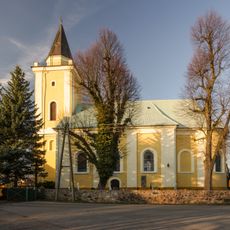
Kościół św. Bartłomieja w Jędrzychowie
2.5 km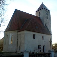
Kościół śś. Piotra i Pawła w Sieroszowicach
8.3 km
Saint Hyacinth church in Pogorzeliska
7.6 km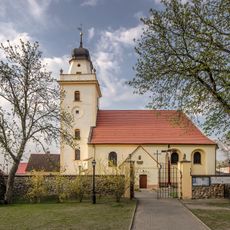
Zespół kościoła św. Michała Archanioła
251 m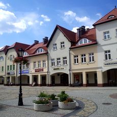
Obręb Starego Miasta
4.2 km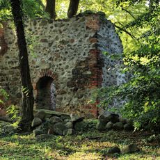
Remains of cemetery church in Kaźmierzów
7.5 km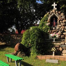
Walls surrounding the Saint Michael Archangel church in Sobin
277 m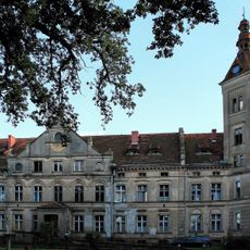
Zespół pałacowy Nowy Dwór we Włoszczowie
2.1 km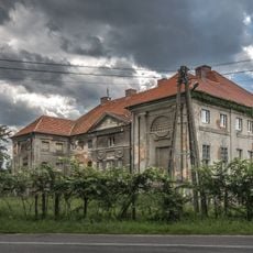
Zespół pałacowy
7.9 km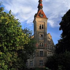
Pałac we Włoszczowie
2.2 kmVisited this place? Tap the stars to rate it and share your experience / photos with the community! Try now! You can cancel it anytime.
Discover hidden gems everywhere you go!
From secret cafés to breathtaking viewpoints, skip the crowded tourist spots and find places that match your style. Our app makes it easy with voice search, smart filtering, route optimization, and insider tips from travelers worldwide. Download now for the complete mobile experience.

A unique approach to discovering new places❞
— Le Figaro
All the places worth exploring❞
— France Info
A tailor-made excursion in just a few clicks❞
— 20 Minutes