
Gmina Ruda-Huta, rural gmina of Poland
Location: Chełm County
Shares border with: Gmina Chełm, Gmina Dorohusk, Gmina Sawin, Gmina Wola Uhruska
Website: http://ruda-huta.lubelskie.pl
GPS coordinates: 51.23333,23.56667
Latest update: March 14, 2025 20:13
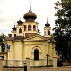
Orthodox church of Saint John the Evangelist in Chełm
10.9 km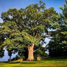
Bolko oak
9.6 km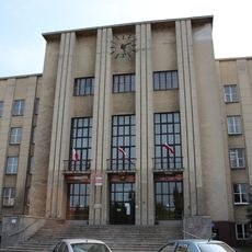
District office building, Chełm
12.2 km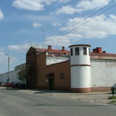
Prisons in Chełm
11.3 km
Tower in Belavino
10.8 km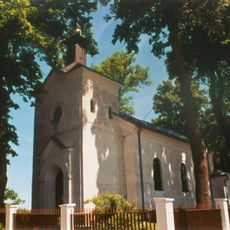
Church of the Dormition in Uhrusk
8.5 km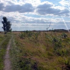
Bagno Serebryskie nature reserve
7.1 km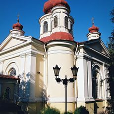
Chełm Orthodox deanery
10.9 km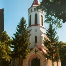
Saints Peter and Paul church in Świerże
12.1 km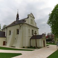
Church of the transfiguration of Christ in Sawin
10.1 km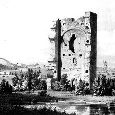
Białawin
11.1 km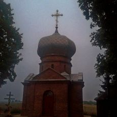
Saint Vladimir I of Kiev Orthodox church in Brzeźno
7.8 km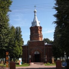
Saint Roch church in Czułczyce
8 km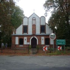
Saint Matthew Polish Catholic church in Ruda-Huta
458 m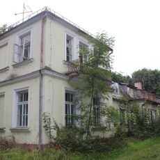
Zespół dworski
7.8 km
Kościół św. Jana Chrzciciela w Uhrusku
8.2 km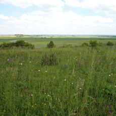
Rezerwat przyrody Stawska Góra
11.8 km
All Saints church in Czułczyce
7.8 km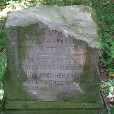
Evangelical-Augsburg cemetery in Kamień-Kolonia
12 km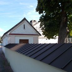
Ogrodzenie
10.1 km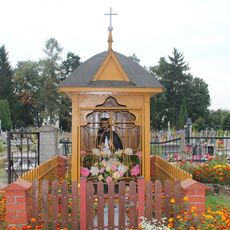
Saint John of Nepomuk wayside shrine in Uhrusk
7.8 km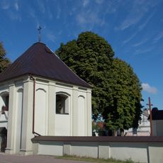
Dzwonnica-brama w Sawiniu
10.1 km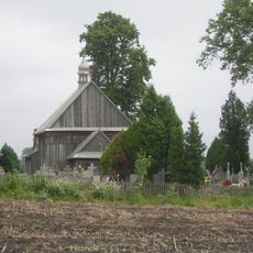
Zespół kościoła Wszystkich Świętych
7.8 km
Zespół kościoła ewangelicko-augsburskiego, ob. polsko-kat. św. Mateusza w Rudzie-Hucie
460 m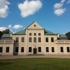
Pałac
8.2 km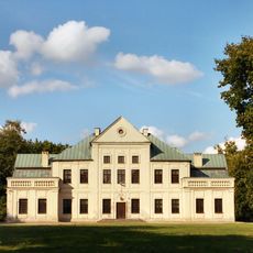
Zespół pałacowy
8.2 km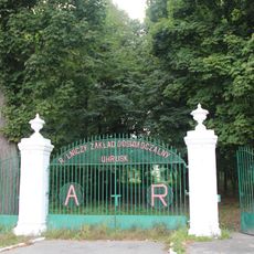
Brama z 2 furtkami
7.8 km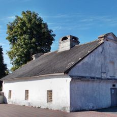
Przytułek dla starców
10.1 kmVisited this place? Tap the stars to rate it and share your experience / photos with the community! Try now! You can cancel it anytime.
Discover hidden gems everywhere you go!
From secret cafés to breathtaking viewpoints, skip the crowded tourist spots and find places that match your style. Our app makes it easy with voice search, smart filtering, route optimization, and insider tips from travelers worldwide. Download now for the complete mobile experience.

A unique approach to discovering new places❞
— Le Figaro
All the places worth exploring❞
— France Info
A tailor-made excursion in just a few clicks❞
— 20 Minutes