
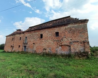
Granary in Niemysłowice, obiekt w ruinie
Location: Niemysłowice
Inception: 18 century
Address: Niemysłowice 5
GPS coordinates: 50.34186,17.55731
Latest update: March 6, 2025 13:29
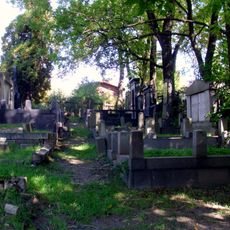
Jewish cemetery in Prudnik
2 km
2 Nyska Street in Prudnik
2.4 km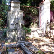
Cemetery on Kościuszki Street in Prudnik
2.5 km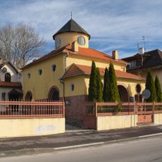
Pentecostal church in Prudnik
1.9 km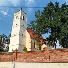
Saint Anne church in Niemysłowice
451 m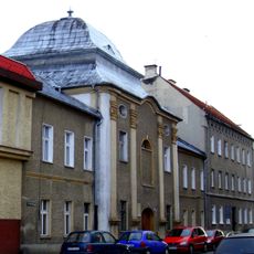
65 Piastowska Street in Prudnik
2.4 km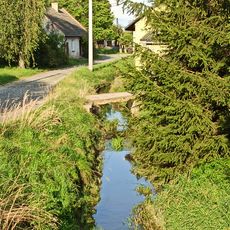
Potoczyna (watercourse)
280 m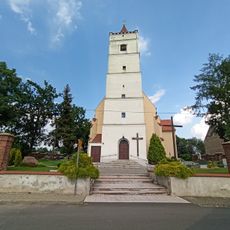
Kościół św. Anny w Niemysłowicach
452 m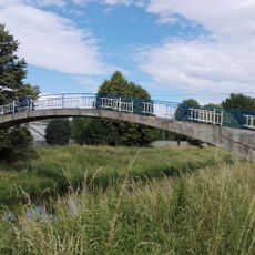
Bridge at Mieszka I Street in Prudnik
2.5 km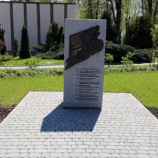
Monument of Stanisław Szozda in Prudnik
2.4 km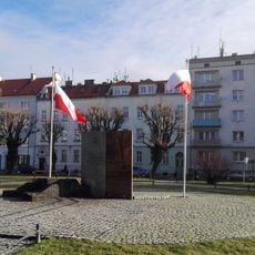
Pomnik Żołnierzy walczących o wolną Polskę
2.5 km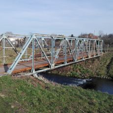
Bridge at Topolowa Street in Prudnik
1.9 km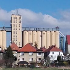
Grain elevator in Prudnik
2.4 km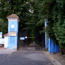
Zespół cmentarza komunalnego w Prudniku
2.5 km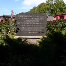
Pomnik, mogiła zbiorowa ofiar II wojny światowej w Prudniku
1.9 km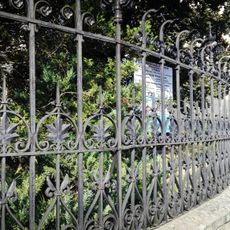
Ogrodzenie zespołu szkół medycznych w Prudniku
2.5 km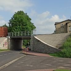
Railway viaduct at Nyska Street in Prudnik
1.7 km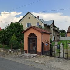
Wayside shrine in Niemysłowice
558 m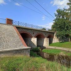
Bridge at Kościuszki Street in Prudnik
2.4 km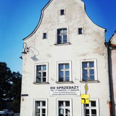
12 Zamkowa Street in Prudnik
1.9 km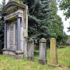
Jewish cemetery in Prudnik
1.9 km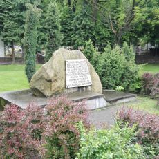
Pomnik Polskim nauczycielom ziemi prudnickiej
2.4 km
Railway bridge in Prudnik
1.7 km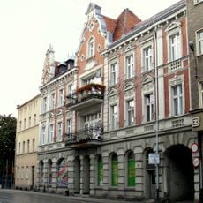
22 Piastowska Street in Prudnik
2.5 km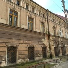
2 Kołłątaja Street in Prudnik
2.5 km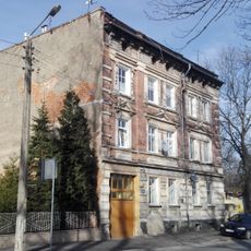
44 Kolejowa Street in Prudnik
1.9 km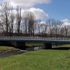
Road bridge at Nyska Street in Prudnik
1.9 km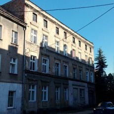
40 Bolesława Chrobrego Street in Prudnik
2.5 kmReviews
Visited this place? Tap the stars to rate it and share your experience / photos with the community! Try now! You can cancel it anytime.
Discover hidden gems everywhere you go!
From secret cafés to breathtaking viewpoints, skip the crowded tourist spots and find places that match your style. Our app makes it easy with voice search, smart filtering, route optimization, and insider tips from travelers worldwide. Download now for the complete mobile experience.

A unique approach to discovering new places❞
— Le Figaro
All the places worth exploring❞
— France Info
A tailor-made excursion in just a few clicks❞
— 20 Minutes