
Анатышское сельское поселение
Анатышское сельское поселение, human settlement in Rybno-Slobodsky District, Republic of Tatarstan, Russia
Location: Rybno-Slobodsky District
Capital city: Anatış
GPS coordinates: 55.48116,50.13488
Latest update: May 31, 2025 10:44
Volzhsko-Kamsky Nature Reserve
67.5 km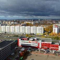
Gorki, Kazan
65.4 km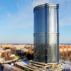
Azure Skies
69.1 km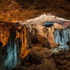
Yurievskaya Cave
63.4 km
Gorki-Ametievo forest park
65.9 km
Lobach Hill
62.2 km
Ascension Monastery, Kazan
67.6 km
Arkhiyereyskoye Lake
63.2 km
Идел буе базары (Казан)
65.4 km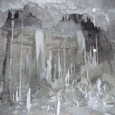
Gipsy-1
63.4 km
Միրաս
66.7 km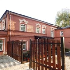
Memorial museum of Boris Pasternak
34.9 km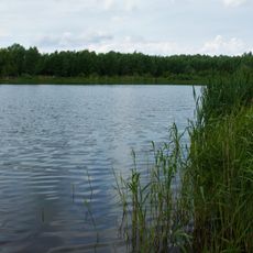
Stolbische
61.2 km
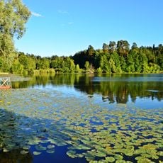
Chistoe Lake
65.5 km
Kazan-2 airport building
68.9 km
Mokhovoye Lake
63.3 km
Собор Николая Чудотворца (Лаишево)
38.6 km
Zayachye Lake
59.8 km
Boxara Mosque
67.1 km
Xözäyfä Mosque
64.3 km
Sapugoli
58 km
Chistopol Mosque
34.2 km
Bätke
1.7 km
Salamykovskoye Lake
57.1 km
Ğädel Mosque
66.3 km
Tınıçlıq Mosque
67 km
Rizvan Mosque
66.5 km
Академик А.Е. Арбузовның музей-йорты
57.5 kmReviews
Visited this place? Tap the stars to rate it and share your experience / photos with the community! Try now! You can cancel it anytime.
Discover hidden gems everywhere you go!
From secret cafés to breathtaking viewpoints, skip the crowded tourist spots and find places that match your style. Our app makes it easy with voice search, smart filtering, route optimization, and insider tips from travelers worldwide. Download now for the complete mobile experience.

A unique approach to discovering new places❞
— Le Figaro
All the places worth exploring❞
— France Info
A tailor-made excursion in just a few clicks❞
— 20 Minutes