
Kleva klintar, nature reserve in Västra Götaland, Sweden
Location: Falköping Municipality
Inception: August 10, 1956
GPS coordinates: 58.20955,13.44768
Latest update: March 20, 2025 21:58
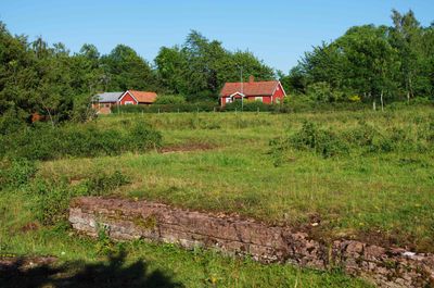
Bjurum
6.2 km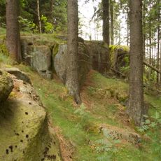
Träleborg
1.9 km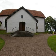
Marka Church
6 km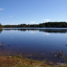
Bergsjön, Mösseberg
2.4 km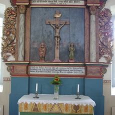
Ugglums kyrka
4.7 km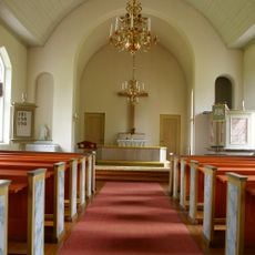
Östra Tunhems kyrka
5.1 km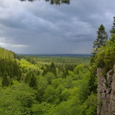
Vråhålan
3.2 km
Forentorpa ängar
6.1 km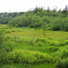
Gröna mad
5 km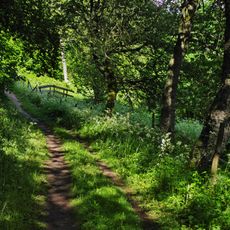
Bestorp
5.6 km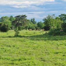
Healedet, Kleva 1:1
918 m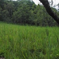
Jättenekärret
5.2 km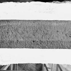
Västergötlands runinskrifter 95
4.7 km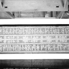
Västergötlands runinskrifter 94
4.7 km
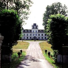
Björstorp i Vilske
4.2 km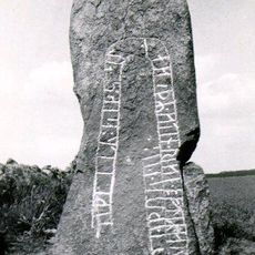
Västergötlands runinskrifter 133
6 km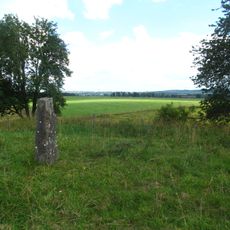
Bjurum 11:2
5.8 km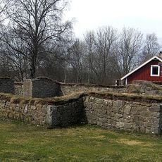
Gökhem 44:1
4.7 km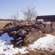
Vilske-Kleva 58:1
1.8 km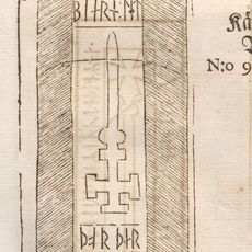
Västergötlands runinskrifter 131
2.9 km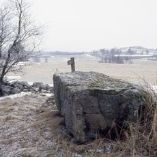
Altarstenen
5.5 km
Bjurum 10:101
5.7 km
Gökhem 5:1
5.1 km
Gökhem 14:1
4.2 km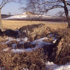
Holöja Skans
3.4 km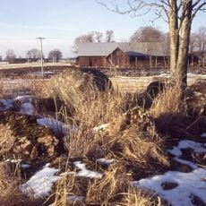
Gökhem 19:1
3.3 km
Gökhem 81:1
4.4 km
Gökhem 72:1
5.8 kmReviews
Visited this place? Tap the stars to rate it and share your experience / photos with the community! Try now! You can cancel it anytime.
Discover hidden gems everywhere you go!
From secret cafés to breathtaking viewpoints, skip the crowded tourist spots and find places that match your style. Our app makes it easy with voice search, smart filtering, route optimization, and insider tips from travelers worldwide. Download now for the complete mobile experience.

A unique approach to discovering new places❞
— Le Figaro
All the places worth exploring❞
— France Info
A tailor-made excursion in just a few clicks❞
— 20 Minutes