Bollnäs 443:2, Hügelgrab in Schweden
Location: Bollnäs Municipality
GPS coordinates: 61.42203,16.51522
Latest update: November 22, 2025 08:44
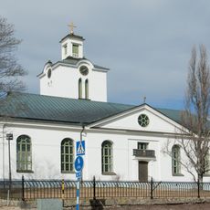
Rengsjö Church
8.1 km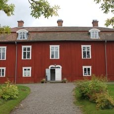
Renshammar
8.9 km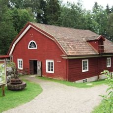
Växbo kvarn
2.8 km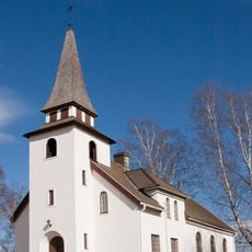
Växbo kapell
2.2 km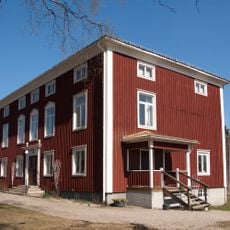
Lottefors kapell
5.4 km
Bollnäs 33:1
2.9 km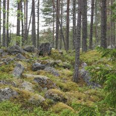
Grossjöberget
8.9 km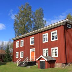
Rehnstedts
8.4 km
Ijungens gammelskog
7.6 km
Arbrå 9:1
8.9 km
Bollnäs 332:3
7.9 km
Bollnäs 332:1
8 km
Arbrå 92:1
8.5 km
Bollnäs 22:1
9.4 km
Bollnäs 534:1
8 km
Bollnäs 1029
4.3 km
Arbrå 138:1
8.1 km
Bollnäs 20:1
9.4 km
Bollnäs 20:2
9.4 km
Arbrå 61:1
7.1 km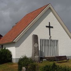
Rengsjö gravkapell
8.2 km
Bollnäs 443:1
23 m
Arbrå 92:2
8.4 km
Bollnäs 24:1
1.4 km
Bollnäs 332:2
8 km
Bollnäs 332:5
7.9 km
Träslottet
7.9 km
Höle klack
8.9 kmReviews
Visited this place? Tap the stars to rate it and share your experience / photos with the community! Try now! You can cancel it anytime.
Discover hidden gems everywhere you go!
From secret cafés to breathtaking viewpoints, skip the crowded tourist spots and find places that match your style. Our app makes it easy with voice search, smart filtering, route optimization, and insider tips from travelers worldwide. Download now for the complete mobile experience.

A unique approach to discovering new places❞
— Le Figaro
All the places worth exploring❞
— France Info
A tailor-made excursion in just a few clicks❞
— 20 Minutes