Urshult 643:1, röse i Småland
Location: Tingsryd Municipality
GPS coordinates: 56.57486,14.78917
Latest update: October 28, 2025 11:15
National Park Åsnen
8.8 km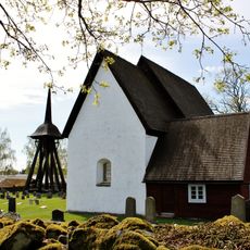
Jäts gamla kyrka
10 km
Lidhem
11.2 km
Lunnabacken
1.3 km
Väckelsång 21:2
11.2 km
Jät 9:1
9.7 km
Jät 155
10.1 km
Urshult 394:1
5.6 km
Urshult 157:1
5.9 km
Tingsås 133:1
9.2 km
Urshult 314:1
1.4 km
Jät 18:1
10.5 km
Jät 44:1
10.9 km
Jät 110:1
8.9 km
Almundsryd 387:1
6.1 km
Almundsryd 462:1
8.6 km
Predikstolen
4.1 km
Jät 133:2
9.4 km
Jät 133:3
9.5 km
Jät 133:1
9.4 km
Väckelsång 13:1
10.3 km
Örjans loge
10.4 km
Väckelsång 140:1
11.1 km
Väckelsång 140:2
11.1 km
Lunnabakken
1.5 km
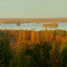
Tower, Observation tower, scenic viewpoint
8.8 km
Scenic viewpoint
6.7 km
Scenic viewpoint
7.8 kmReviews
Visited this place? Tap the stars to rate it and share your experience / photos with the community! Try now! You can cancel it anytime.
Discover hidden gems everywhere you go!
From secret cafés to breathtaking viewpoints, skip the crowded tourist spots and find places that match your style. Our app makes it easy with voice search, smart filtering, route optimization, and insider tips from travelers worldwide. Download now for the complete mobile experience.

A unique approach to discovering new places❞
— Le Figaro
All the places worth exploring❞
— France Info
A tailor-made excursion in just a few clicks❞
— 20 Minutes