
Öckerö 28:1, röse i Bohuslän
Location: Öckerö Municipality
GPS coordinates: 57.69980,11.61495
Latest update: April 17, 2025 12:51
Gemeinde Öckerö
2.2 km
Torslanda Airport
10.3 km
Hönöleden
3.8 km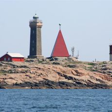
Vinga lighthouse
7.6 km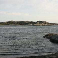
Hyppeln
6.8 km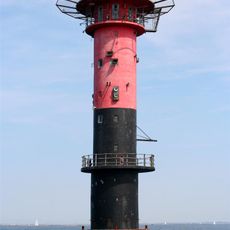
Trubaduren lighthouse
11.5 km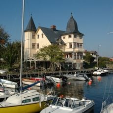
Bremerska villan
4.2 km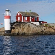
Gäveskär
10.1 km
Sillvik
8.1 km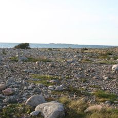
Rörö
8.9 km
Stångmärket Valen
4 km
Sillvik
8.6 km
Ersdalen
272 m
Knippla kapell
6.1 km
Vinga
6.9 km
Hälleviken
7.2 km
Böttö lighthouse
8.4 km
Böttö old lighthouse
8.4 km
Stora Pölsan
10 km
Fotöbron
3.9 km
Stora Känsö
11.4 km
Gäveskärs gamla fyr
10.1 km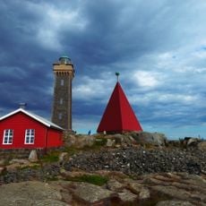
Vinga daymark
7.6 km
Valskär light
4.1 km
Buskärs Knöte
7.9 km
Öckerö 19:1
143 m
Gröna vik badplats
11.2 km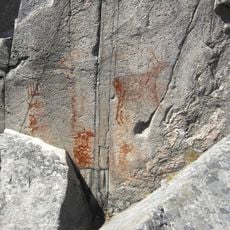
Tumlehed
8.3 kmReviews
Visited this place? Tap the stars to rate it and share your experience / photos with the community! Try now! You can cancel it anytime.
Discover hidden gems everywhere you go!
From secret cafés to breathtaking viewpoints, skip the crowded tourist spots and find places that match your style. Our app makes it easy with voice search, smart filtering, route optimization, and insider tips from travelers worldwide. Download now for the complete mobile experience.

A unique approach to discovering new places❞
— Le Figaro
All the places worth exploring❞
— France Info
A tailor-made excursion in just a few clicks❞
— 20 Minutes