
Bollebygd 12:1, röse i Västergötland
Location: Bollebygd Municipality
GPS coordinates: 57.71390,12.57453
Latest update: August 17, 2025 19:58
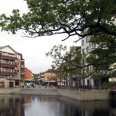
Gemeinde Härryda
10.9 km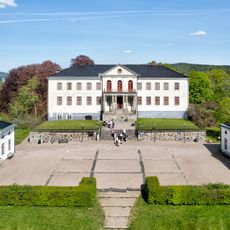
Nääs Castle
15.4 km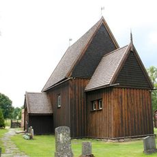
Hedared stave church
14.7 km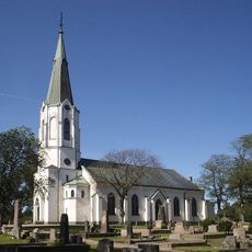
Skallsjö Church
15.4 km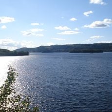
Viaredssjön
12.7 km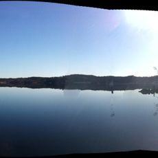
Östra Nedsjön
4 km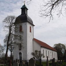
Bollebygds kyrka
4.7 km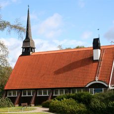
Hindås Church
7.4 km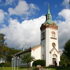
Björketorp Church
8.8 km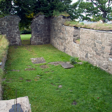
Skallsjö kyrkoruin
16 km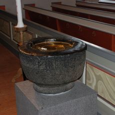
Hemsjö Church baptismal font
16.3 km
Nääs ekhagar
15.8 km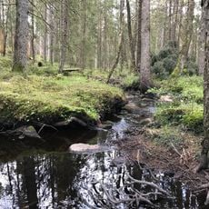
Klippan nature reserve
6.2 km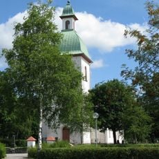
Töllsjö Church
9.7 km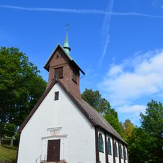
Olsfors kyrka
7.8 km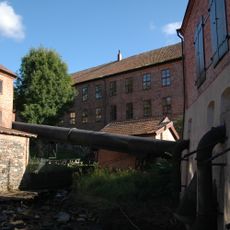
Tollereds övre kraftverk och tub
14.9 km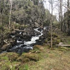
Risbohult
10.9 km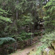
Liagärde
16.3 km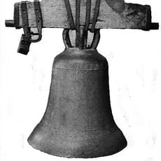
Bollebygdsklockan
4.7 km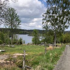
Örsbråtens naturreservat
9.7 km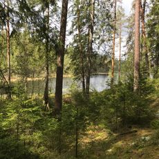
Läkarebo 1:1
9 km
Tollereds biograf
14.8 km
Björketorp 9:1
12.9 km
Skallsjö 21:1
16 km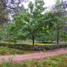
Björketorps kolerakyrkogård
8.6 km
Skämningared
15.6 km
Public beach Hyltorna, Sävelången
16.4 km
Björketorp 7:1
13.1 kmReviews
Visited this place? Tap the stars to rate it and share your experience / photos with the community! Try now! You can cancel it anytime.
Discover hidden gems everywhere you go!
From secret cafés to breathtaking viewpoints, skip the crowded tourist spots and find places that match your style. Our app makes it easy with voice search, smart filtering, route optimization, and insider tips from travelers worldwide. Download now for the complete mobile experience.

A unique approach to discovering new places❞
— Le Figaro
All the places worth exploring❞
— France Info
A tailor-made excursion in just a few clicks❞
— 20 Minutes