Hajom 23:1, stenkrets i Västergötland
Location: Mark Municipality
GPS coordinates: 57.52861,12.61682
Latest update: November 10, 2025 00:41
Gemeinde Mark
4.2 km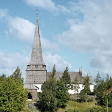
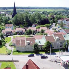
Skene Church
4.6 km
Stoms ås
4.4 km
Hajom 23:2
15 m
Stegelåsen
2.5 km
Hajom 46:1
3.2 km
Hajom 46:2
3.2 km
Hajom 63:2
4.4 km
Kinna 17:1
3.2 km
Stegelåsen
2.5 km
Kinna 16:1
3.5 km
Hajom 63:1
4.4 km
Örby 86:1
3.3 km
Kinna 3:1
2.3 km
Anjougården
4.4 km
Hajom 46:3
3.2 km
Kinna 49:2
3.9 km
Örby 49:1
3 km
Kinna 11:1
3.4 km
Galgbacken
4.3 km
Kinna 49:1
3.9 km
Kinna 13:1
2.9 km
Kinna 12:1
3 km
Förläggargården Assberg
4.5 km
Badhuset Kaskad
4.5 km
Torberg
4.5 km
Stoms ås
4.2 km
Nordbacka
4 kmReviews
Visited this place? Tap the stars to rate it and share your experience / photos with the community! Try now! You can cancel it anytime.
Discover hidden gems everywhere you go!
From secret cafés to breathtaking viewpoints, skip the crowded tourist spots and find places that match your style. Our app makes it easy with voice search, smart filtering, route optimization, and insider tips from travelers worldwide. Download now for the complete mobile experience.

A unique approach to discovering new places❞
— Le Figaro
All the places worth exploring❞
— France Info
A tailor-made excursion in just a few clicks❞
— 20 Minutes