Trollhättan 58:3, hällristning i Västergötland
Location: Trollhättan Municipality
GPS coordinates: 58.28411,12.27789
Latest update: November 22, 2025 15:57
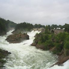
Trollhättan Falls
273 m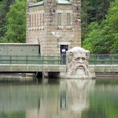
Strömkarlsbron
140 m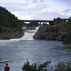
Oscar's Bridge
429 m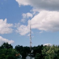
Strömslundstornet
597 m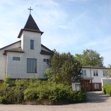
Immanuelskyrkan, Trollhättan
506 m
Trollhättan 58:1
12 m
Trollhättan 58:2
5 m
Trollhättan 58:4
3 m
Polhems Slussen
512 m
Kungsgrottan
480 m
Work of art, sculpture
467 m
Work of art, sculpture
287 m
Sculpture, Work of art
449 m
Work of art
507 m
Work of art
244 m
Work of art
162 m
Scenic viewpoint
287 m
Scenic viewpoint
353 m
Vimpelkullen
292 m
Scenic viewpoint
331 m
Scenic viewpoint
498 m
Scenic viewpoint
108 m
Scenic viewpoint
137 m
Scenic viewpoint
488 m
Scenic viewpoint
451 m
Scenic viewpoint
197 m
Stampeströmsfallet
457 m
Tjuvfallet
284 mReviews
Visited this place? Tap the stars to rate it and share your experience / photos with the community! Try now! You can cancel it anytime.
Discover hidden gems everywhere you go!
From secret cafés to breathtaking viewpoints, skip the crowded tourist spots and find places that match your style. Our app makes it easy with voice search, smart filtering, route optimization, and insider tips from travelers worldwide. Download now for the complete mobile experience.

A unique approach to discovering new places❞
— Le Figaro
All the places worth exploring❞
— France Info
A tailor-made excursion in just a few clicks❞
— 20 Minutes