Öttum 48:1, Hügelgrab in Schweden
Location: Vara Municipality
GPS coordinates: 58.34267,13.22726
Latest update: November 24, 2025 01:31
Vinköl
3.7 km
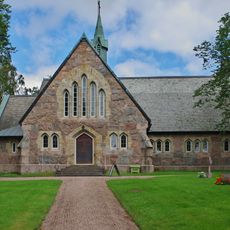
Öttums kyrka
2.4 km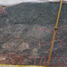
Vg 75, Västra Gerum
3 km
Öttum 21:3
3 km
Skallmeja 2:1
2.2 km
Öttum 1:2
3 km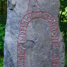
Vg 74 Skolgården (gamla kyrkogården)
3.8 km
Öttum 21:1
3 km
Öttum 12:3
705 m
Saleby 76:1
3.5 km
Synnerby 4:1
3 km
Skallmeja 36:1
3.6 km
Saleby 10:2
3.3 km
Öttum 15:1
3 km
Vinköl 5:1
2.1 km
Öttum 21:2
3 km
Öttum 1:1
2.9 km
Öttum 21:4
3 km
Öttum 10:1
2.9 km
Öttum 12:1
724 m
Torkels grav
3.6 km
Torkels grav
3.6 km
Skallmeja 15:1
3.6 km
Saleby 7:1
3.4 km
Synnerby 2:1
3.6 km
Skallmeja 48:1
3.5 km
Skallmeja 9:1
2.4 km
Västra Gerum 13:1
1.6 kmReviews
Visited this place? Tap the stars to rate it and share your experience / photos with the community! Try now! You can cancel it anytime.
Discover hidden gems everywhere you go!
From secret cafés to breathtaking viewpoints, skip the crowded tourist spots and find places that match your style. Our app makes it easy with voice search, smart filtering, route optimization, and insider tips from travelers worldwide. Download now for the complete mobile experience.

A unique approach to discovering new places❞
— Le Figaro
All the places worth exploring❞
— France Info
A tailor-made excursion in just a few clicks❞
— 20 Minutes