Linde 104:1, stone setting in Västmanland, Sweden
Location: Lindesberg Municipality
GPS coordinates: 59.70529,15.11903
Latest update: November 21, 2025 22:33
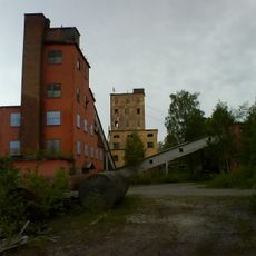
Stripa gruva
1.3 km
Lucifers kyrka
5.8 km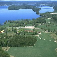
Usken
9.2 km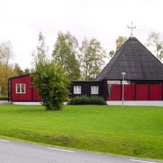
Sankta Anna kyrka, Stråssa
5.8 km
Löa hytta
11.2 km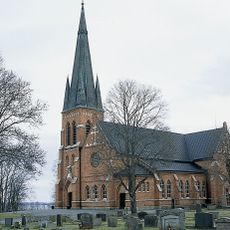
Guldsmedshyttan Church
935 m
Munkhyttan
10.9 km
Lejaskogen
6.6 km
Lejakärret
7.1 km
Råsvalens naturreservat
10.3 km
Håkansbodaberget
11.9 km
Mårdshytte kalkskog
7.4 km
Meshattbäcken
11.1 km
Hällabomossen
8.3 km
Gäddtjärn
11.8 km
Valsjötjärnen
5.1 km
Linde 609:1
8.2 km
Linde 104:2
12 m
Stripa gruva
1.3 km
Järnboås 138:1
11.2 km
Linde 160:1
6.9 km
Munkhyttans skolmuseum
11 km
Kviddtjärn
9.2 km
Linde 101:1
133 m
Namnhällen
10.7 km
Smedjan
10.9 km
Siggebohyttans gruva
10.7 km
Dynamitkällaren
10.8 kmReviews
Visited this place? Tap the stars to rate it and share your experience / photos with the community! Try now! You can cancel it anytime.
Discover hidden gems everywhere you go!
From secret cafés to breathtaking viewpoints, skip the crowded tourist spots and find places that match your style. Our app makes it easy with voice search, smart filtering, route optimization, and insider tips from travelers worldwide. Download now for the complete mobile experience.

A unique approach to discovering new places❞
— Le Figaro
All the places worth exploring❞
— France Info
A tailor-made excursion in just a few clicks❞
— 20 Minutes