Vännäs 21:1, grav markerad av sten/block i Västerbotten
Location: Vännäs Municipality
GPS coordinates: 63.88530,19.60769
Latest update: November 21, 2025 13:58
Vännäs Municipality
7.8 km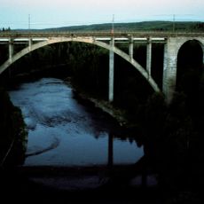
Tallbergsbroarna
16.2 km
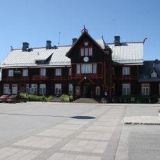
Vännäs läger
6.8 km
Brånsjön
12.5 km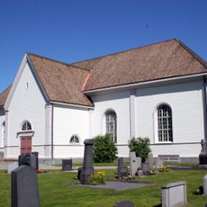
Vännäs Church
10.2 km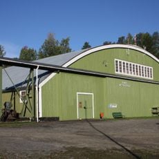
Vännäs motormuseum
6.7 km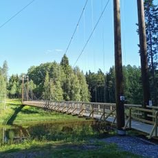
Vännäsbadet
8.4 km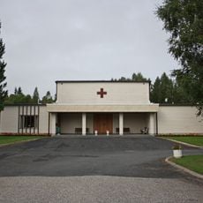
Mariakapellet, Vännäs
8.5 km
Orrböle
12.5 km
Starrberget
11 km
Skalberget
11.5 km
Kronberget
6.7 km
Långberget
11.9 km
Kvillträsket
9.9 km
Trinnan
8.1 km
Långsjöberget
3.7 km
Lilloxpallsbäcken
15.3 km
Vinbäck
7.7 km
Rävahidalen
4.8 km
Starrmyran
13.4 km
Kroksberget
13.4 km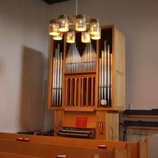
Mariakapellets orgel av Kangasala orgelfabrik
8.5 km
Vännäs läger
6.7 km
Ånglok B 1219
7.4 km
Hägring
6.6 km
Slöjdarnas hus
12.9 km
Scenic viewpoint
16.1 km
Tallbergsbroarna
16.2 kmReviews
Visited this place? Tap the stars to rate it and share your experience / photos with the community! Try now! You can cancel it anytime.
Discover hidden gems everywhere you go!
From secret cafés to breathtaking viewpoints, skip the crowded tourist spots and find places that match your style. Our app makes it easy with voice search, smart filtering, route optimization, and insider tips from travelers worldwide. Download now for the complete mobile experience.

A unique approach to discovering new places❞
— Le Figaro
All the places worth exploring❞
— France Info
A tailor-made excursion in just a few clicks❞
— 20 Minutes