Karbenning Ödekyrkogård, Friedhof in Schweden
Location: Norberg Municipality
GPS coordinates: 60.01285,16.11066
Latest update: November 22, 2025 19:39
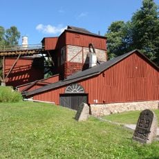
Engelsberg Ironworks
7.4 km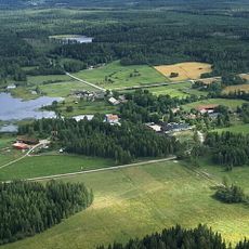
Lapphyttan
7.3 km
Högfors bruk
5.4 km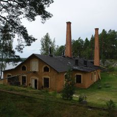
Engelsbergs oljefabrik
8.6 km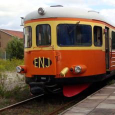
Engelsberg-Norberg Railway
8.4 km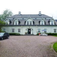
Högfors Manor
5.5 km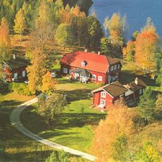
Nyhyttans bergsmansgård
8.9 km
Engelsbergs skulpturpark
7.9 km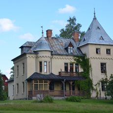
Odensnäs
9.4 km
Landforsens hytta
1.9 km
Trollbo nature reserve
10 km
Stora Hoberget
4.5 km
Komossens domänreservat
9.7 km
Fröbenbenningmossens domänreservat
11.6 km
Vs 32 Prästgården Västerfärnebo socken
11.7 km
Kungshögen
3 km
Västervåla 28:3
9.3 km
Västervåla 28:1
9.3 km
Västervåla 25:1
9.7 km
Västerfärnebo 42:1
10.9 km
Västerfärnebo 31:1
9.4 km
Västervåla 29:1
8 km
Västervåla 28:2
9.3 km
Västerfärnebo 325:1
11.6 km
Selpungbacken
11.5 km
Oljeön
8.7 km
Scenic viewpoint
11.2 km
Scenic viewpoint
4.5 kmReviews
Visited this place? Tap the stars to rate it and share your experience / photos with the community! Try now! You can cancel it anytime.
Discover hidden gems everywhere you go!
From secret cafés to breathtaking viewpoints, skip the crowded tourist spots and find places that match your style. Our app makes it easy with voice search, smart filtering, route optimization, and insider tips from travelers worldwide. Download now for the complete mobile experience.

A unique approach to discovering new places❞
— Le Figaro
All the places worth exploring❞
— France Info
A tailor-made excursion in just a few clicks❞
— 20 Minutes