Själevad 37:1, röse i Ångermanland
Location: Örnsköldsvik Municipality
GPS coordinates: 63.28160,18.70766
Latest update: October 26, 2025 02:25
Örnsköldsvik Municipality
490 m
Ting1
973 m
Paradiskullen
870 m
Paradisbadet
971 m
Varvsberget
1.1 km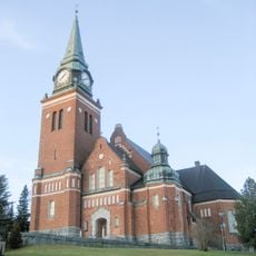
Örnsköldsvik Church
1.4 km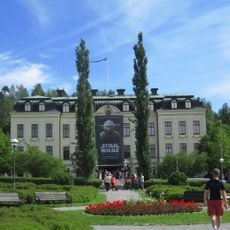
Örnsköldsvik museum and art gallery
1.3 km
Örnsköldsvik church parish
1.3 km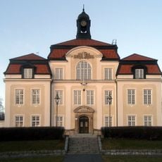
Örnsköldsviks rådhus
1.4 km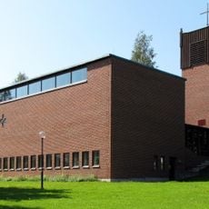
Domsjö church
2.6 km
Ångermanlands norra domsagas tingslag
1.4 km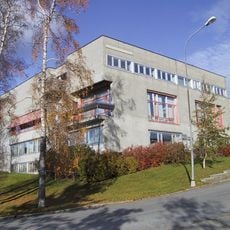
Ångermanlands norra domsaga
1.4 km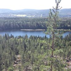
Hörnsjön
797 m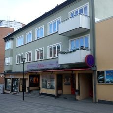
Biostaden Palladium
1.1 km
Arkenbiblioteket
833 m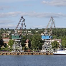
Hamnkranarna
663 m
Gestalt i storm
1.3 km
Hamnmagasinen
539 m
Échec & Mat
565 m
Linskraft
999 m
Old crane
676 m
Havsörnen
970 m
Work of art
841 m
Statue, Work of art
1.2 km
Scenic viewpoint
1.5 km
Scenic viewpoint
2.4 km
Kempekullen
2.3 km
Scenic viewpoint
642 mReviews
Visited this place? Tap the stars to rate it and share your experience / photos with the community! Try now! You can cancel it anytime.
Discover hidden gems everywhere you go!
From secret cafés to breathtaking viewpoints, skip the crowded tourist spots and find places that match your style. Our app makes it easy with voice search, smart filtering, route optimization, and insider tips from travelers worldwide. Download now for the complete mobile experience.

A unique approach to discovering new places❞
— Le Figaro
All the places worth exploring❞
— France Info
A tailor-made excursion in just a few clicks❞
— 20 Minutes