Diäs Olofstorp, lägenhetsbebyggelse i Västmanland (Norberg 440)
Location: Norberg Municipality
GPS coordinates: 60.04472,15.73018
Latest update: November 22, 2025 15:46
Semla Area
3.5 km
Klackberg
9.6 km
Fagersta-Västanfors hembygdsgård
7.9 km
Västanfors kraftstation
7.8 km
Parish in the Diocese of Västerås Fagersta Municipality in Västmanland, Sweden
7.6 km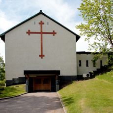
Skogskapellet, Västanfors
7.2 km
Svartberget
7.3 km
Hemshyttan
4.8 km
Rödmossen
8.5 km
Bromsberget
7.8 km
Jonhagen
8.4 km
Silvtjärn
6.3 km
Jättåsarna
6.5 km
Jönsbacken
8.5 km
Fagersta 39:1
3.6 km
Fagersta 36:1
8.8 km
Kolerakyrkogården
7.1 km
2004013 (W-id) Tre jättegrytor
6.9 km
2004025 (W-id) En lind
8.6 km
Bruksmuseet i Fagersta
5.6 km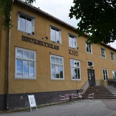
Brukskyrkan, Fagersta
5.6 km
Norberg 443
736 m
Fagersta 269:1
6.4 km
Söderbärke 68:1
7.9 km
Fagersta Golfklubb
8.3 km
Luftbevakningstornet
5.5 km
Norrby Teater
7.1 km
Scenic viewpoint
9.1 kmReviews
Visited this place? Tap the stars to rate it and share your experience / photos with the community! Try now! You can cancel it anytime.
Discover hidden gems everywhere you go!
From secret cafés to breathtaking viewpoints, skip the crowded tourist spots and find places that match your style. Our app makes it easy with voice search, smart filtering, route optimization, and insider tips from travelers worldwide. Download now for the complete mobile experience.

A unique approach to discovering new places❞
— Le Figaro
All the places worth exploring❞
— France Info
A tailor-made excursion in just a few clicks❞
— 20 Minutes