Semla Area, Industrial heritage site at Semla, Sweden.
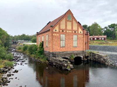
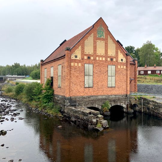
Semla Area is a red-brick hydroelectric power station with a steep red-tiled roof, standing on a rough grey stone base pierced by two arched openings over the water. Its gable end carries a green shield sign with the letters "FIA", and three tall pale-framed windows line the side wall. The building is the Semla IV station, in service since 2017.
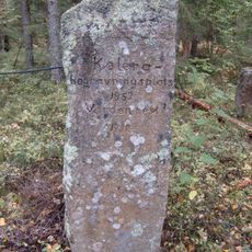
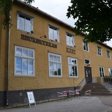
Semla Bruk is first mentioned in 1580 and peaked in the 18th century with three hearths and two trip hammers. Ironmaking ended in 1861, when production moved to Fagersta Bruk, while mining continued into the 1960s. The manor burned down in 1890, and the blast furnace was demolished during the mid-19th-century rebuilding of Strömsholms kanal to make way for new locks.
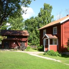
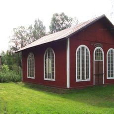
The name Semla probably comes from an Old Swedish word for marshy ground where water seeps out, recorded as Sømle in 1461 and Symble in 1496. The medieval noble family Simla likely took its name from here. The site is now part of Ekomuseum Bergslagen, and the lock-keeper's cottages stand by the two highest locks of the Strömsholms kanal.
The site is located in central Sweden along a river with multiple power stations visible from accessible areas. Wear suitable footwear as the terrain is uneven and often runs along the water's edge.
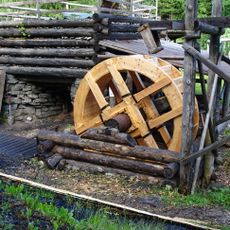
Semla III, built in 1910 about 200 m downstream of the dam, ran for 106 years until 2016. Water reached its two Francis turbines through wooden tubes, with a fall of 6.44 m and 854 kW per turbine; a third wooden tube and a Kaplan turbine were added in 1988. The original 1910 station with two units still stands, while Semla IV replaced the rest in 2017 with a 260 m fibreglass tube, 3.6 m in diameter, raising output from 2.8 to 3.5 MW.
The community of curious travelers
AroundUs brings together thousands of curated places, local tips, and hidden gems, enriched daily by 93,464 contributors worldwide.