Önet
Location: Krokom Municipality
Inception: 1836
GPS coordinates: 63.51552,13.89465
Latest update: November 6, 2025 10:39
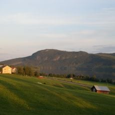
Hällberget
8 km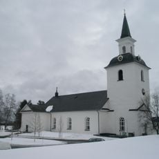
Offerdals kyrka
8 km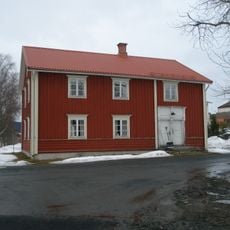
Offerdals rural municipality
8 km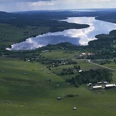
Hällsjön
5.2 km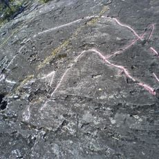
Petroglyphs of Gärde
7.6 km
Offerdalsberg
14 km
Rödde
14.9 km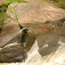
Glösa rock carvings
16 km
Önet, parstuga och bakstuga
213 m
Offerdal 135:1
10.1 km
Knekttorpet
8.5 km
Offerdal 149:1
8.5 km
Dahlstenstorpet
14.5 km
Offerdal 83:1
12.5 km
Offerdal 83:2
12.5 km
Offerdal 133:1
10.7 km
Rysshögen
15.3 km
Gladåkern
12.5 km
Offerdal 321:1
8.2 km
Svedängssved
13.8 km
Offerdal 1:2
7.5 km
Alsen 5:1
14.3 km
Bröllopsstenen
14.8 km
Jättegrytor vid fallet vid Åringsån
11.2 km
Honingsberget
14.8 km
Scenic viewpoint
13.1 km
Toppstugan
7.4 km
Waterfall
11.2 kmReviews
Visited this place? Tap the stars to rate it and share your experience / photos with the community! Try now! You can cancel it anytime.
Discover hidden gems everywhere you go!
From secret cafés to breathtaking viewpoints, skip the crowded tourist spots and find places that match your style. Our app makes it easy with voice search, smart filtering, route optimization, and insider tips from travelers worldwide. Download now for the complete mobile experience.

A unique approach to discovering new places❞
— Le Figaro
All the places worth exploring❞
— France Info
A tailor-made excursion in just a few clicks❞
— 20 Minutes