
En Ek, Hörda 2:4, naturminne i Växjö kommun
Location: Växjö Municipality
Inception: December 3, 1936
GPS coordinates: 57.01565,14.72633
Latest update: May 23, 2025 17:56
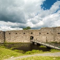
Kronoberg Castle Ruin
9.2 km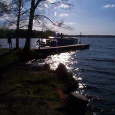
Helgasjön
6.2 km
Thor
9.3 km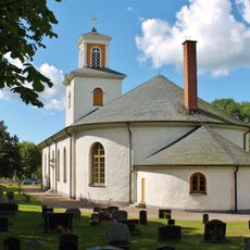
Gårdsby Church
12.2 km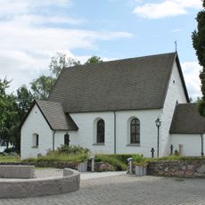
Öjaby Church
12.1 km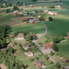
Härlöv
7.7 km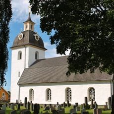
Söraby Church
10 km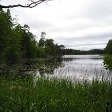
Hissö
7.9 km
Lilla Björka
7.3 km
Tolg Church
10.4 km
Tjureda Church
6.1 km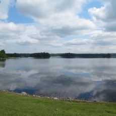
Stråken
11.9 km
Sankt Sigfrids kapell, Växjö
9.9 km
Ormesberga Church
1.2 km
Johannesgården, Växjö
12 km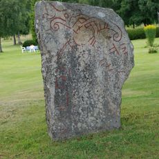
Tolgstenen
9.4 km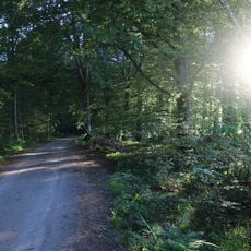
Naturreservatet Kronoberg
9.9 km
Evedal and Hultet
11.4 km
Norrvidinge tingslag
6.1 km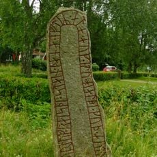
Smålands runinskrifter 19
8.2 km
Moheda 36:1
9.3 km
Moheda 7:1
9.7 km
Evedal
12.1 km
Kongshögen/Kongsgraven
11.4 km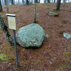
Moheda 116:1
9.6 km
Moheda 117:1
10.1 km
Hökarör
11.8 km
Moheda 126:2
11.2 kmReviews
Visited this place? Tap the stars to rate it and share your experience / photos with the community! Try now! You can cancel it anytime.
Discover hidden gems everywhere you go!
From secret cafés to breathtaking viewpoints, skip the crowded tourist spots and find places that match your style. Our app makes it easy with voice search, smart filtering, route optimization, and insider tips from travelers worldwide. Download now for the complete mobile experience.

A unique approach to discovering new places❞
— Le Figaro
All the places worth exploring❞
— France Info
A tailor-made excursion in just a few clicks❞
— 20 Minutes