
Karlshamn 1:1, historische Wegmarkierung in der Gemeinde Karlshamn, Schweden
Location: Karlshamn Municipality
GPS coordinates: 56.16504,14.87572
Latest update: May 21, 2025 17:23
Eriksberg
7.8 km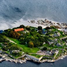
Karlshamns Castle
837 m
Elleholms House
7.8 km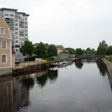
Mieån
590 m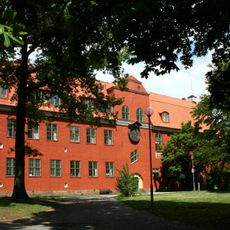
Väggaskolan
200 m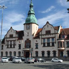
Karlshamns rådhus
903 m
Skottsbergska gården
1.5 km
Karlshamns museum
1.4 km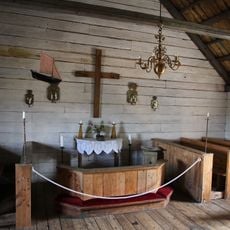
Kastellkyrkan
791 m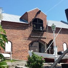
Blekinge Sjöfartsmuseum
658 m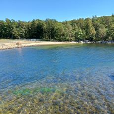
Väggabadet
463 m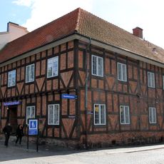
Asschierska huset
1.1 km
Lokstallarna
1.9 km
Pengabergets vattenreservoar
1.1 km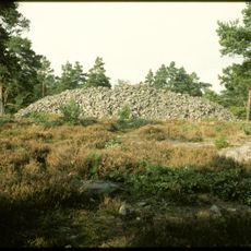
Karlshamn 29:1
2.6 km
Porto de Karlshamn
3.5 km
Stilleryd
5.9 km
Froarps Vattenverk
6.5 km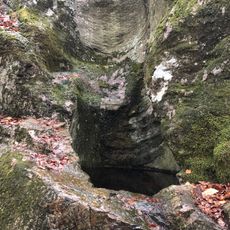
2003644 Tararps jättegrytfält
7.1 km
Bräkne och Listers domsaga
3.3 km
Metropol
1.3 km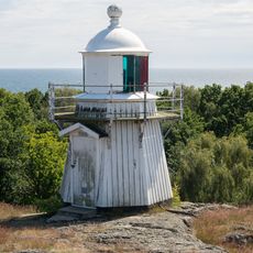
Tärnö lighthouse
8.3 km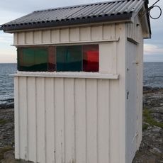
Tärnö East lighthouse
8 km
Karlshamn 3:1
1.8 km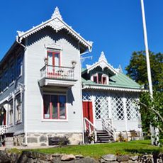
Villa Albertsberg
832 m
Haus Kungsgatan 54
1.1 km
Televerkets hus, Karlshamn
989 m
Wahlströmska gården
644 mReviews
Visited this place? Tap the stars to rate it and share your experience / photos with the community! Try now! You can cancel it anytime.
Discover hidden gems everywhere you go!
From secret cafés to breathtaking viewpoints, skip the crowded tourist spots and find places that match your style. Our app makes it easy with voice search, smart filtering, route optimization, and insider tips from travelers worldwide. Download now for the complete mobile experience.

A unique approach to discovering new places❞
— Le Figaro
All the places worth exploring❞
— France Info
A tailor-made excursion in just a few clicks❞
— 20 Minutes