
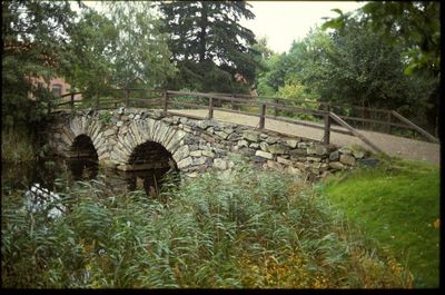
Nättraby 88:1, stone bridge in Karlskrona Municipality, Sweden
Location: Karlskrona Municipality
GPS coordinates: 56.20811,15.53153
Latest update: March 7, 2025 13:54
Naval City of Karlskrona
5.6 km
Skärva House
2.7 km
Hoglands park
5.9 km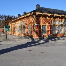
Blekinge museum
6 km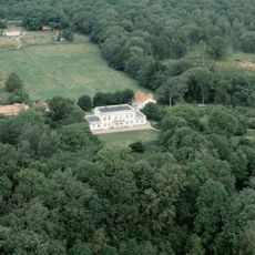
Tromtö House
6 km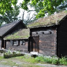
Wämöparken
5.9 km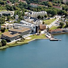
Gräsvik, Karlskrona
4.7 km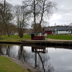
Nättrabyån
1.7 km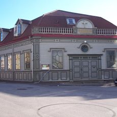
Emanuelskyrkan
6 km
Ljungskär
5.2 km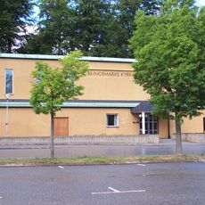
Kungsmarkskyrkan
5.7 km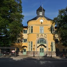
Varmbadhuset, Karlskrona
5.9 km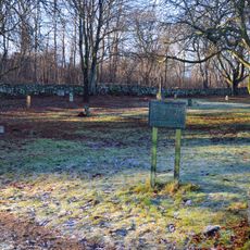
Saltö cemetery
4.8 km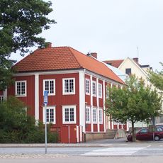
Rådman Lunds gård
5.9 km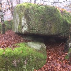
Skärva
2.7 km
Vambåsa hagmarker
5.7 km
Bergqvistska gården
6 km
Två idegranar Grevagården
6 km
Danmarksfjärden
3.6 km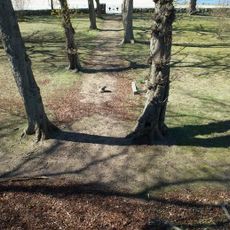
Karlskrona 78:2
6 km
Kungshuset
6 km
Nättraby 75:1
673 m
Grevagården
6 km
Dragsö barnbadvik
4.4 km
Nättraby 54:2
2.3 km
Karlskrona 54:2
6 km
Karlskrona 53:1
5.8 km
Nättraby 33:1
1.5 kmReviews
Visited this place? Tap the stars to rate it and share your experience / photos with the community! Try now! You can cancel it anytime.
Discover hidden gems everywhere you go!
From secret cafés to breathtaking viewpoints, skip the crowded tourist spots and find places that match your style. Our app makes it easy with voice search, smart filtering, route optimization, and insider tips from travelers worldwide. Download now for the complete mobile experience.

A unique approach to discovering new places❞
— Le Figaro
All the places worth exploring❞
— France Info
A tailor-made excursion in just a few clicks❞
— 20 Minutes