
Sankt Per 7:2, grav markerad av sten/block i Östergötland
Location: Vadstena Municipality
GPS coordinates: 58.42269,14.89396
Latest update: June 11, 2025 22:19
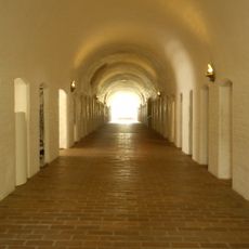
Vadstena Abbey
3.1 km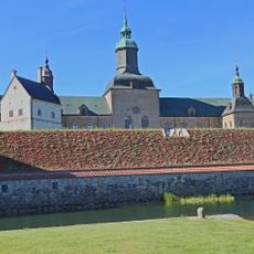
Vadstena Castle
2.7 km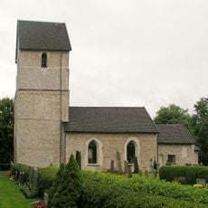
Herrestad Church
6 km
Vadstena hospital
3.2 km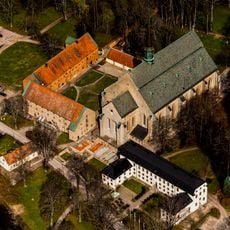
Vadstena kungsgård
3.2 km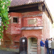
Mårten Skinnares hus
3.2 km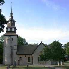
Örberga Church
5.5 km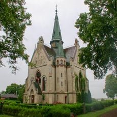
Orlunda Church
5.1 km
Kastad kulle torräng
3 km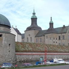
Vadstena regional state archives
2.7 km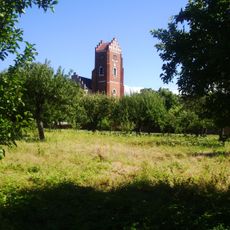
Rödtornet
2.9 km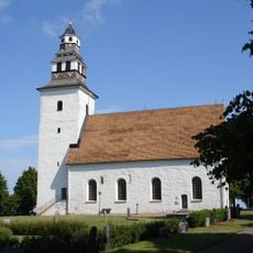
Hovs kyrka
5.1 km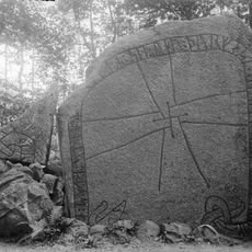
Östergötland Runic Inscription 77
5.6 km
Udd Jönssons hus
2.8 km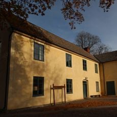
Vadstena Gamla Teater
3 km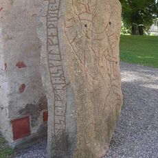
Östergötland Runic Inscription 179
3.1 km
Vadstena Toy Museum
2.5 km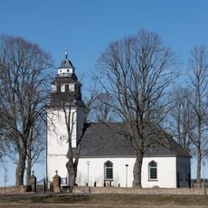
Strå Church
1.5 km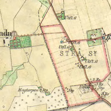
Klosterorlunda
2.6 km
Vadstena Town Hall
2.8 km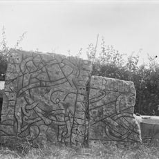
Östergötlands runinskrifter 5
5.1 km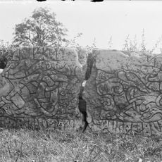
Östergötlands runinskrifter 2
5.1 km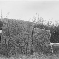
Östergötlands runinskrifter 6
5.1 km
Hospitalsmuseet i Vadstena
3.2 km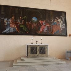
Vadstena slottskyrka
2.7 km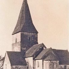
Orlunda gamla kyrka
5 km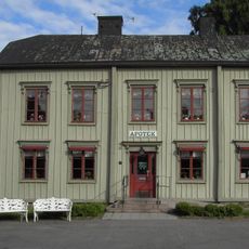
Apoteksgården
2.8 km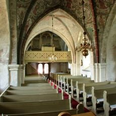
Örberga kyrkas orgel by Carl Elfström
5.5 kmReviews
Visited this place? Tap the stars to rate it and share your experience / photos with the community! Try now! You can cancel it anytime.
Discover hidden gems everywhere you go!
From secret cafés to breathtaking viewpoints, skip the crowded tourist spots and find places that match your style. Our app makes it easy with voice search, smart filtering, route optimization, and insider tips from travelers worldwide. Download now for the complete mobile experience.

A unique approach to discovering new places❞
— Le Figaro
All the places worth exploring❞
— France Info
A tailor-made excursion in just a few clicks❞
— 20 Minutes