
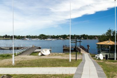
Ronnebyfjärden
Location: Ronneby Municipality
GPS coordinates: 56.16667,15.28333
Latest update: March 29, 2025 11:27
Ronneby brunnspark
3.2 km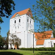
Holy Cross Church
5 km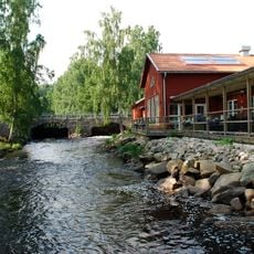
Ronneby River
1.4 km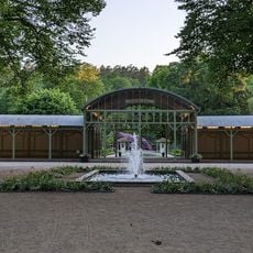
Ronneby Water Park
3.1 km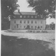
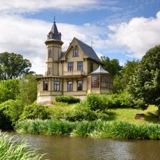
Göholms House
3.3 km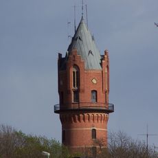
Ronneby gamla vattentorn
4.9 km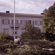
Kockumvillan
4.6 km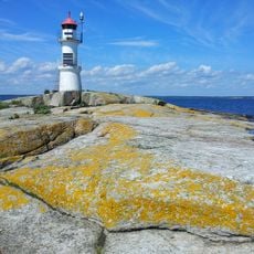
Gåsfeten lighthouse
6.2 km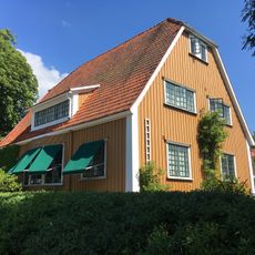
Villa Wahlman
4.5 km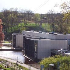
Stadshuset, Ronneby
5.2 km
Yxnarum
5.5 km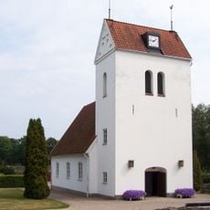
Saxemara Church
3.3 km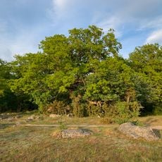
Edestad 97:1
2 km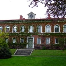
Gamla rådhuset, Ronneby
4.7 km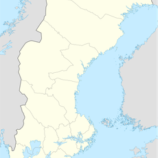
Danziger gatt
3.9 km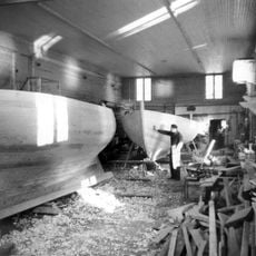
Saxemara boatyard
3 km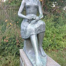
Blomsterflickan
5 km
Rådhuskällaren
4.8 km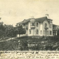
Hviidehus
3.8 km
Medelstads tingslag
4.5 km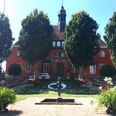
Östra och Medelstads domsagas tingslag
4.5 km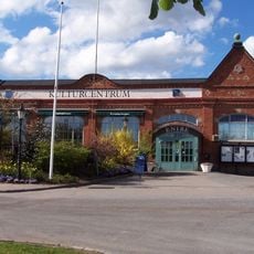
Kulturcentrum Ronneby konsthall
5.1 km
Östra och Medelstads domsaga
4.5 km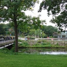
Stadshusbron, Ronneby
5.1 km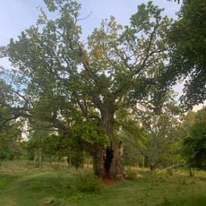
Ek vid Gö
2.7 km
2003640 Bergsformationen Skaftaskärv
5.6 km
Edestad 86:1
4.1 km
Ronneby 112:1
3.3 kmReviews
Visited this place? Tap the stars to rate it and share your experience / photos with the community! Try now! You can cancel it anytime.
Discover hidden gems everywhere you go!
From secret cafés to breathtaking viewpoints, skip the crowded tourist spots and find places that match your style. Our app makes it easy with voice search, smart filtering, route optimization, and insider tips from travelers worldwide. Download now for the complete mobile experience.

A unique approach to discovering new places❞
— Le Figaro
All the places worth exploring❞
— France Info
A tailor-made excursion in just a few clicks❞
— 20 Minutes