
Lúky, municipality of Slovakia
Location: Púchov District
Inception: 1471
Elevation above the sea: 332 m
Website: http://www.obecluky.sk/
Website: http://obecluky.sk
GPS coordinates: 49.18976,18.22773
Latest update: March 5, 2025 14:47

Lednica Castle
8.9 km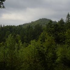
Makyta
9.2 km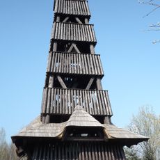
Čubův kopec observation tower
7 km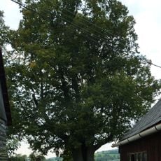
Kobza lime tree in Francova Lhota
7.8 km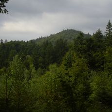
Makyta (nature reserve)
9.6 km
Strošovský močiar
9.7 km
Lednické bradlo
9.1 km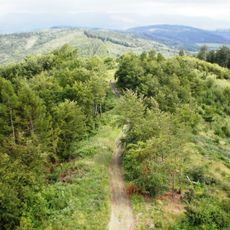
Hladké vrchy
2.9 km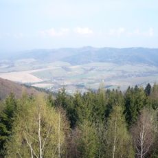
Lysianska brázda
3.1 km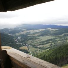
Zubácka brázda
5 km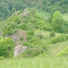
Lednické skalky
8.4 km
Zaniknutý kostol s cintorínom, cintorín príkostolný
8.9 km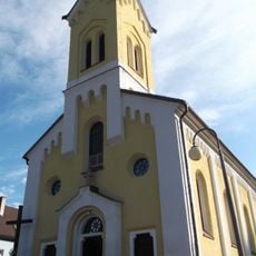
Farský kostol Cyrila a Metoda
6.8 km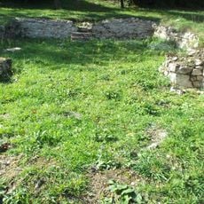
Zaniknutý kostol s cintorínom, kostol zaniknutý
8.9 km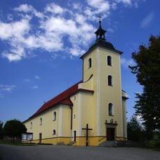
Church of Saint Stephen of Hungary
8.4 km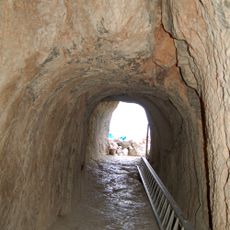
Hrad Lednica, tunel
8.9 km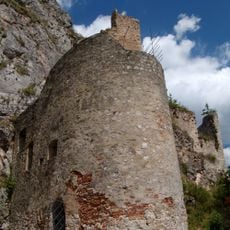
Hrad Lednica, bašta bránová
8.9 km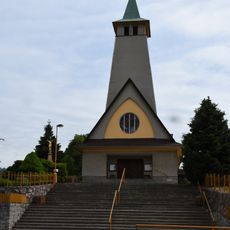
Church of the Assumption of the Virgin Mary
9 km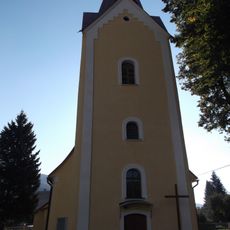
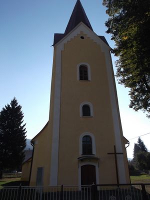
Farský kostol sv. Bartolomeja
573 m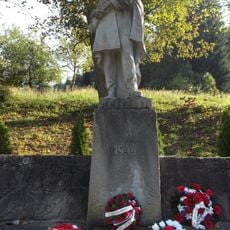
Pomník padlým v II. sv. v.
6.5 km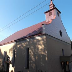
Evanjelický kostol
1.7 km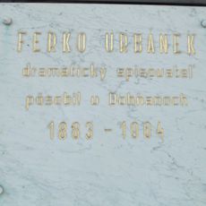
Pam. tab. -Urbánek Ferko
6.5 km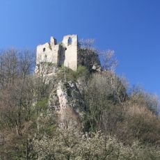
Hrad Lednica, palác hradný I.
8.9 km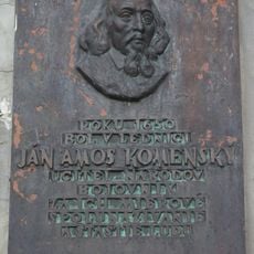
Komenský J. A. , 1592-1670
9.2 km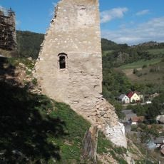
Hrad Lednica, stavba hospodárska
8.9 km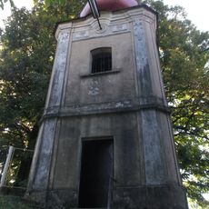
Zvonica
1.7 km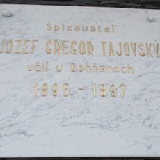
Pam. tab. -Tajovský J. G.
6.5 km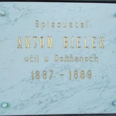
Spisovat. , publicista Bielik A.
6.5 kmReviews
Visited this place? Tap the stars to rate it and share your experience / photos with the community! Try now! You can cancel it anytime.
Discover hidden gems everywhere you go!
From secret cafés to breathtaking viewpoints, skip the crowded tourist spots and find places that match your style. Our app makes it easy with voice search, smart filtering, route optimization, and insider tips from travelers worldwide. Download now for the complete mobile experience.

A unique approach to discovering new places❞
— Le Figaro
All the places worth exploring❞
— France Info
A tailor-made excursion in just a few clicks❞
— 20 Minutes