
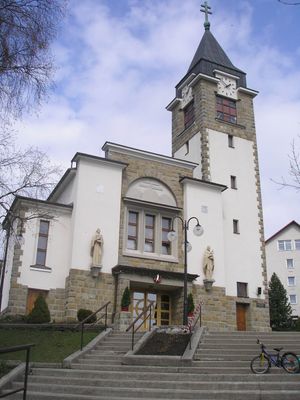
Novoť, municipality of Slovakia
Location: Námestovo District
Inception: 1691
Elevation above the sea: 752 m
Website: http://www.novot.sk
Shares border with: Zákamenné
Website: http://novot.sk
GPS coordinates: 49.42803,19.26348
Latest update: June 17, 2025 14:30
WOP post in Soblówka
8.8 km
Oszus
5.9 km
Podbeskydská vrchovina
5.5 km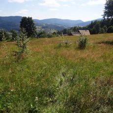
Glinka (Beskid Żywiecki)
7.7 km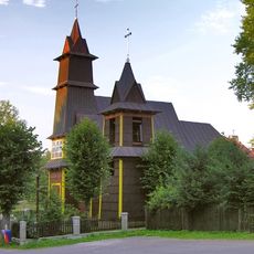
Immaculate Heart of Mary church in Soblówka
8.8 km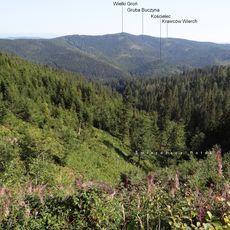
Okrągłe, Silesian Voivodeship
8.9 km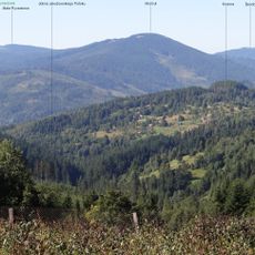
Kiczora (Ujsoły)
11.1 km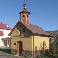
Wayside chapel in Ujsoły
10.8 km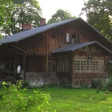
Forester's lodge in Złatna
10 km
Mechy
10.4 km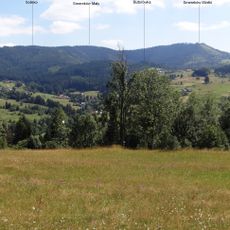
Solisko (1031 m)
5.2 km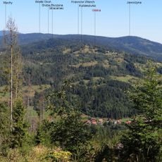
Kubiesowka
8.3 km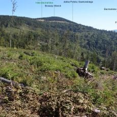
Bacmańska Góra
11.2 km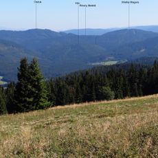
Vysoká Magura
7.8 km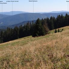
Pański Kamień
8.4 km
Butorówka
6.8 km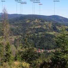
Straceniec (szczyt)
7 km
Wilczy Groń
9.2 km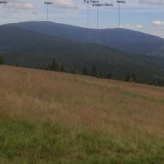
Minčol
10 km
Kotelnica (Ujsoły)
9 km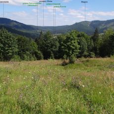
Magura (996 m)
7.7 km
Żebrakówka
5.5 km
Okrągła (Złatna)
8.3 km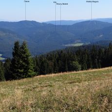
Klin (Beskid Żywiecki)
7.7 km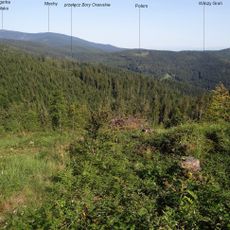
Połom (Złatna)
9.2 km
Magurka
11 km
Kościelec
7.6 km
Brejówka
8.9 kmReviews
Visited this place? Tap the stars to rate it and share your experience / photos with the community! Try now! You can cancel it anytime.
Discover hidden gems everywhere you go!
From secret cafés to breathtaking viewpoints, skip the crowded tourist spots and find places that match your style. Our app makes it easy with voice search, smart filtering, route optimization, and insider tips from travelers worldwide. Download now for the complete mobile experience.

A unique approach to discovering new places❞
— Le Figaro
All the places worth exploring❞
— France Info
A tailor-made excursion in just a few clicks❞
— 20 Minutes