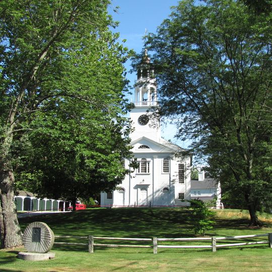
Wayland, town in Middlesex County, Massachusetts, United States
Location: Middlesex County
Inception: 1638
Elevation above the sea: 39 m
Shares border with: Natick
Website: http://wayland.ma.us
GPS coordinates: 42.36250,-71.36194
Latest update: March 8, 2025 02:20

Lincoln-Sudbury Regional High School
4.8 km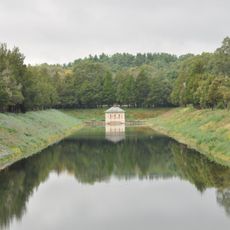
Weston Aqueduct
3.4 km
Case Estates
5.2 km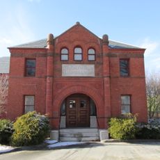
Goodnow Library
4.5 km
Weston Observatory
3.9 km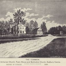
Sudbury Center Historic District
4.1 km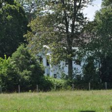
Allen Crocker Curtis House-Pillar House
4.9 km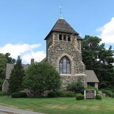
Boston Post Road Historic District
4.4 km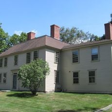
Golden Ball Tavern
4.3 km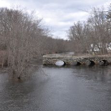
Stone's Bridge
3.8 km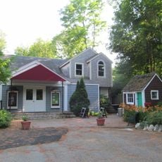
Vokes Theatre
2 km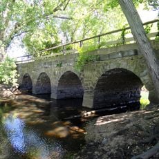
Old Town Bridge
2.1 km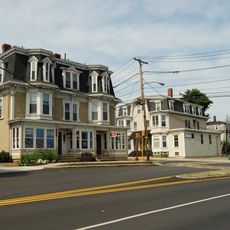
Saxonville Historic District
5.3 km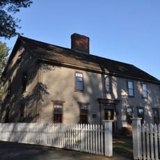
Robert Jenison House
4.9 km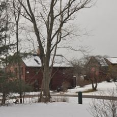
Noyes-Parris House
1.5 km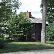
Abel Allen House
4.8 km
Wellington Farm Historic District
5.6 km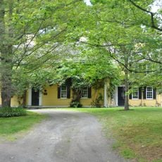
Harrington House
5.8 km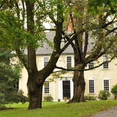
Rev. Samuel Woodward House
4.7 km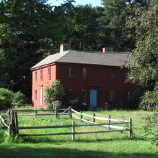
Hopestill Bent Tavern
2.4 km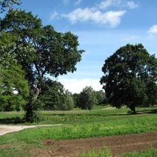
Case's Corner Historic District
5.2 km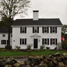
Samuel Train House
5.4 km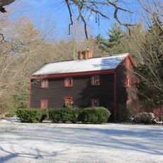
Moses Brewer House
4.4 km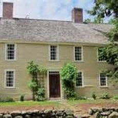
Reeves Tavern
1.5 km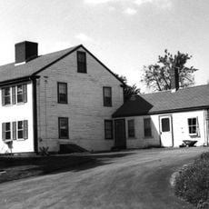
Bogle-Walker House
3.3 km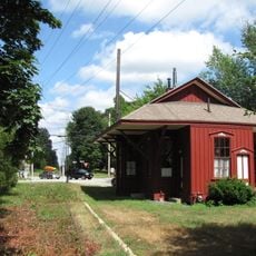
Wayland Center Historic District
221 m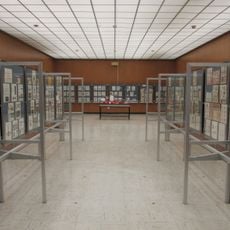
Spellman Museum of Stamps & Postal History
4.8 km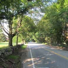
Old Connecticut Path
1.6 kmReviews
Visited this place? Tap the stars to rate it and share your experience / photos with the community! Try now! You can cancel it anytime.
Discover hidden gems everywhere you go!
From secret cafés to breathtaking viewpoints, skip the crowded tourist spots and find places that match your style. Our app makes it easy with voice search, smart filtering, route optimization, and insider tips from travelers worldwide. Download now for the complete mobile experience.

A unique approach to discovering new places❞
— Le Figaro
All the places worth exploring❞
— France Info
A tailor-made excursion in just a few clicks❞
— 20 Minutes
