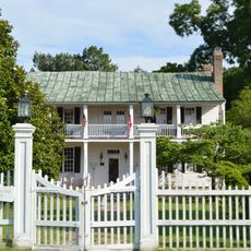
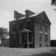
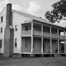
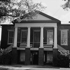
Perquimans County, County in North Carolina, United States
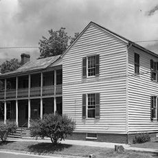
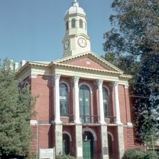
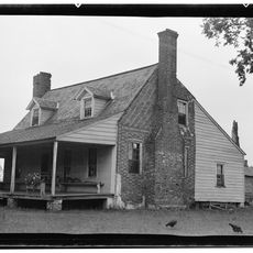
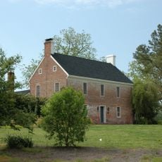
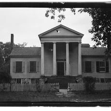
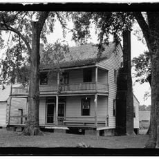
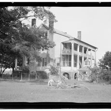
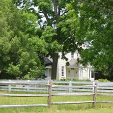
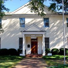
Perquimans County is an administrative area in North Carolina defined by its water features and coastal characteristics. The territory is shaped by a network of rivers and bays, with Hertford serving as the county seat where government services are based.
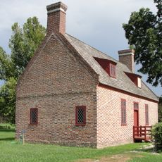
The territory was established as Berkeley Precinct in 1672 and received its current name in 1684 before gaining county status in 1739. These transformations reflect European settlement and colonial administrative organization of the region.
The county's name comes from the Perquimans River, which Native Americans originally called after a word meaning water. Today, the waterways remain central to how people move through and experience the landscape, shaping daily life and local identity.
The area is predominantly water-based and is best explored by boat or through local bridges and ferries. Visitors should prepare for wet, marshy conditions and come ready for warmer seasons when the landscape is most accessible.
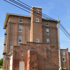
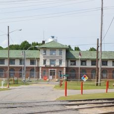
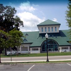
The region was an important trading hub for timber and shipping along its rivers during early colonial times. This maritime heritage is still visible today in the preserved historic docks and port infrastructure of Hertford.
Location: North Carolina
Location: Province of North Carolina
Inception: 1672
Capital city: Hertford
Shares border with: Pasquotank County, Chowan County, Gates County, Washington County, Tyrrell County
Website: http://co.perquimans.nc.us
GPS coordinates: 36.18000,-76.41000
Latest update: December 15, 2025 13:21
Belvidere
15.8 km
Old Brick House
24.1 km
Land's End
18.6 km
James Iredell House
22.1 km
Elizabeth City Historic District
21.4 km
Sutton-Newby House
2.6 km
Milford
26.5 km
Stockton
9.2 km
Isaac White House
7.4 km
Newbold-White House
2.9 km
Cove Grove
779 m
Strawberry Hill
21.4 km
Mulberry Hill
22 km
Sandy Point
21.3 km
Camden County Courthouse
27.1 km
Morgan House
26.8 km
Northside Historic District
22.1 km
Episcopal Cemetery
21.4 km
Perquimans County Courthouse
5.1 km
Riverside Historic District
22.1 km
Edenton Cotton Mill Historic District
22 km
Elizabeth City Water Plant
22.2 km
Caleb Grandy House
29 km
Mitchell-Ward House
17.7 km
Newland Road Site
23.9 km
Museum of the Albemarle
21.5 km
Lane House
22.1 km
Myers-White House
8.2 kmVisited this place? Tap the stars to rate it and share your experience / photos with the community! Try now! You can cancel it anytime.
Discover hidden gems everywhere you go!
From secret cafés to breathtaking viewpoints, skip the crowded tourist spots and find places that match your style. Our app makes it easy with voice search, smart filtering, route optimization, and insider tips from travelers worldwide. Download now for the complete mobile experience.
A unique approach to discovering new places❞
— Le Figaro
All the places worth exploring❞
— France Info
A tailor-made excursion in just a few clicks❞
— 20 Minutes