Enable Location

We need your location to show you interesting places around you

Discover nearby places

Find interesting locations and hidden gems around you

Precise directions

Get accurate directions and distances to places

Your location is never shared with other users. It's only used when you tap the location button.

Log in to your account

Start exploring — it's free

Trusted by 61,456 travelers worldwide

Continue with Google
Continue with Apple
or

We will send you a code to connect

By continuing, you accept our Terms and Conditions and our Privacy Policy

Check your inbox

We've sent a pincode in your inbox. Please enter the code below.

Franklin Square

Franklin Square, Public square at Pearl and Dover Streets intersection in Manhattan, United States.

Description

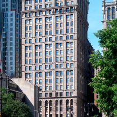
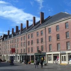
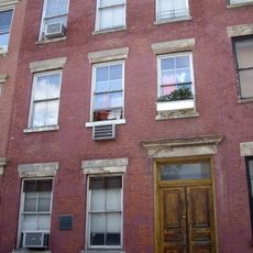
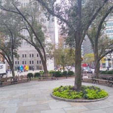
Franklin Square was a public plaza in Manhattan situated where Pearl and Dover Streets met, connecting multiple thoroughfares in lower Manhattan. The location was later transformed by the construction of residential buildings and infrastructure that replaced the original open space.

History

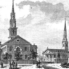
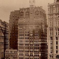
The square emerged during Manhattan's early expansion and initially housed Walter Franklin's residence, which served briefly as George Washington's home during his first presidential year. The property was demolished in the mid-1800s as the city continued to develop and reshape its lower neighborhoods.

Culture

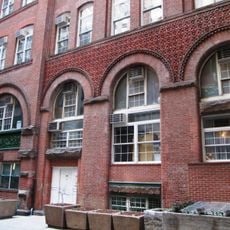
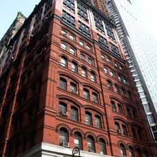
The location hosted publishing and printing operations that shaped Manhattan's literary scene throughout the 19th century. Visitors walking through the area today can trace how this corner of the city served as a hub for those who created and distributed books.

Practical

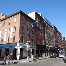
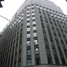
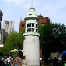
The original plaza no longer exists as a public space, having been replaced by modern buildings and infrastructure in this densely developed area. Visitors interested in exploring its past can focus on nearby streets and structures that preserve traces of the location's former role in the city.

Did you know?

An elevated train line called the Third Avenue El operated above this spot, with a station positioned directly over the square that made it a major transit hub. Both the rail station and the plaza disappeared around the middle of the twentieth century, fundamentally changing the character of this part of Manhattan.

Location
GPS coordinates
40.70930,-74.00170
Latest update
December 12, 2025 07:54

AroundUs brings together thousands of curated places, local tips, and hidden gems, enriched daily by 60,000 contributors worldwide. Discover all places nearby (Manhattan).

Around this place
1 Police Plaza
United States of America

1 Police Plaza

323 m
South Street Seaport
United States of America

South Street Seaport

408 m
8 Spruce Street
United States of America

8 Spruce Street

382 m
375 Pearl Street
United States of America

375 Pearl Street

172 m
United States of America

New York City Police Department School Safety Division

302 m
Park Place Tower
United States of America

Park Place Tower

424 m
Pier 17
United States of America

Pier 17

415 m
1 Pace Plaza
United States of America

1 Pace Plaza

318 m
Excelsior Power Company Building
United States of America

Excelsior Power Company Building

372 m
Morse Building
United States of America

Morse Building

435 m
St. James' Roman Catholic Church
United States of America

St. James' Roman Catholic Church

417 m
United States of America

Michael Schimmel Center for the Arts

296 m
Building at 116 John Street
United States of America

Building at 116 John Street

423 m
5 in 1
United States of America

5 in 1

393 m
Schermerhorn Row Block
United States of America

Schermerhorn Row Block

354 m
170–176 John Street Building
United States of America

170–176 John Street Building

437 m
Chatham Garden Theatre
United States of America

Chatham Garden Theatre

426 m
Fulton Market Building
United States of America

Fulton Market Building

296 m
Alfred E. Smith House
United States of America

Alfred E. Smith House

413 m
Pier 16 Tickets
United States of America

Pier 16 Tickets

416 m
Old Brick Church
United States of America

Old Brick Church

442 m
South Street Seaport Museum
United States of America

South Street Seaport Museum

341 m
Insurance Company of North America Building
United States of America

Insurance Company of North America Building

412 m
South Street Seaport Historic District
United States of America

South Street Seaport Historic District

304 m
New York Tribune Building
United States of America

New York Tribune Building

383 m
Titanic Memorial
United States of America

Titanic Memorial

276 m
Titanic Memorial Park
United States of America

Titanic Memorial Park

257 m
One Seaport Plaza
United States of America

One Seaport Plaza

355 m
Show the full map
« Franklin Square - Public square at Pearl and Dover Streets intersection in Manhattan, United States » is provided by Around Us (aroundus.com). Images and texts are derived from Wikimedia project under a Creative Commons license. You are allowed to copy, distribute, and modify copies of this page, under the conditions set by the license, as long as this note is clearly visible.

Discover hidden gems everywhere you go!

From secret cafés to breathtaking viewpoints, skip the crowded tourist spots and find places that match your style. Our app makes it easy with voice search, smart filtering, route optimization, and insider tips from travelers worldwide. Download now for the complete mobile experience.

Around Us App Screenshot

A unique approach to discovering new places

Le Figaro

All the places worth exploring

France Info

A tailor-made excursion in just a few clicks

20 Minutes

Around Us
Travel Guide & Maps
Download

Send to your phone

QR Code
1

Open the camera app on your mobile.

2

Point at the QR code with your camera. A notification will appear.

3

Tap the notification to open the link.