
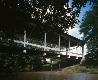
Germantown Covered Bridge
Location: Germantown
Inception: 1865
GPS coordinates: 39.62623,-84.36497
Latest update: September 23, 2025 16:46
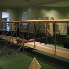
Wright Flyer III
18 km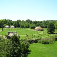
SunWatch Indian Village
15.2 km
Charles F. Kettering House
16.5 km
Cox Arboretum and Gardens MetroPark
12.5 km
Great Mound
15.6 km
La Comedia Dinner Theatre
11.5 km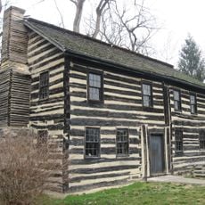
Newcom Tavern
18.2 km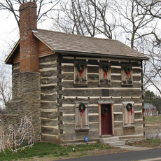
Old Log Post Office
9 km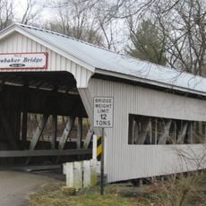
Brubaker Covered Bridge
15.6 km
John B. Tytus House
13.2 km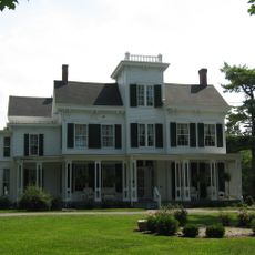
Dr. Aaron Wright House
13.3 km
Baum Opera House
6.8 km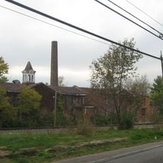
Harding-Jones Paper Company District
17.4 km
Mann Mound
13.9 km
Springboro Historic District
13.9 km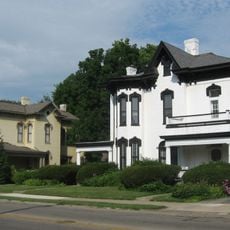
South Main Street District
13.2 km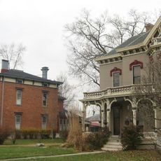
Mackinaw Historic District
8.5 km
Charles Butler House
8.9 km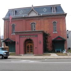
Market Square (Miamisburg, Ohio)
5.8 km
Emmanuel's Evangelical Lutheran Church
603 m
Eden Thirkfield Home
8.9 km
John W. Berry Sr. Wright Brothers National Museum
18 km
Plaza Theatre
6.7 km
Preble County Historical Society and Nature Reserve
16 km
Great Miami River Recreation Trail
12.6 km
By-Jo Theatre
466 m
The Canal Museum
11.8 km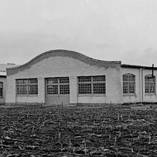
Wright Company Factory
17.6 kmReviews
Visited this place? Tap the stars to rate it and share your experience / photos with the community! Try now! You can cancel it anytime.
Discover hidden gems everywhere you go!
From secret cafés to breathtaking viewpoints, skip the crowded tourist spots and find places that match your style. Our app makes it easy with voice search, smart filtering, route optimization, and insider tips from travelers worldwide. Download now for the complete mobile experience.

A unique approach to discovering new places❞
— Le Figaro
All the places worth exploring❞
— France Info
A tailor-made excursion in just a few clicks❞
— 20 Minutes