Warriors Point, cliff in Washington County, Pennsylvania, United States of America
Location: Washington County
GPS coordinates: 40.44806,-80.48750
Latest update: November 20, 2025 09:26

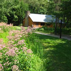
Raccoon Creek State Park
8 km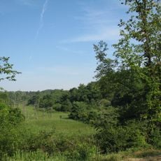
Hillman State Park
10.4 km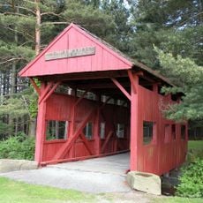
Devil's Den, McClurg Covered Bridge
3.1 km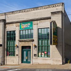
People's Bank
9.7 km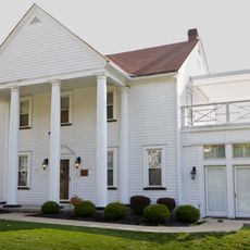
Dr. George Rigas House
10 km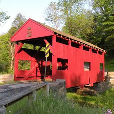
Lyle Covered Bridge
9.5 km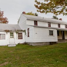
Johnston-Truax House
5.8 km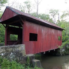
Ralston Freeman Covered Bridge
1.7 km
Jackson's Mill Covered Bridge
2.7 km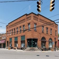
First National Bank
11.8 km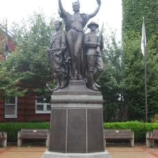
Toronto World War I Monument
9.7 km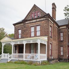
Marshall House
11.3 km
State Game Lands Number 117
11.5 km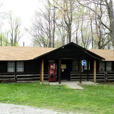
Raccoon Creek State Park Historic District
7.7 km
Point Pleasant
10.8 km
Mountaineer Woodview Golf Course
9.1 km
Williams Country Club Golf Course
10.3 km
Pleasant Valley Country Club Golf Course
4.3 km
Ponderosa Golf Course
5.8 km
Toronto Veterans Mural
9.7 km
Mural, Work of art
9.8 km
Work of art, mural
9.8 km
Statue, Work of art
11.7 km
Scenic viewpoint
9.6 km
Scenic viewpoint
10.7 km
Mineral Springs
7.4 km
Scenic viewpoint
6 km
Frankfort Mineral Springs
7.4 kmReviews
Visited this place? Tap the stars to rate it and share your experience / photos with the community! Try now! You can cancel it anytime.
Discover hidden gems everywhere you go!
From secret cafés to breathtaking viewpoints, skip the crowded tourist spots and find places that match your style. Our app makes it easy with voice search, smart filtering, route optimization, and insider tips from travelers worldwide. Download now for the complete mobile experience.

A unique approach to discovering new places❞
— Le Figaro
All the places worth exploring❞
— France Info
A tailor-made excursion in just a few clicks❞
— 20 Minutes