
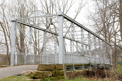
John Bright No. 1 Iron Bridge, bridge in Lancaster, Ohio
Location: Lancaster
Part of: Ohio University Lancaster historic bridges
GPS coordinates: 39.82949,-82.67419
Latest update: September 23, 2025 16:46
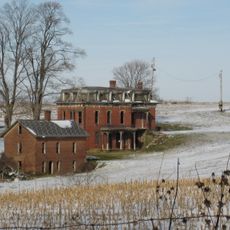
Mudhouse Mansion
16.6 km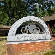
Motorcycle Hall of Fame
14.9 km
World Harvest Church
14.9 km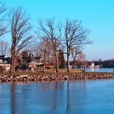
Buckeye Lake
17.1 km
Otherworld
17.2 km
Amanda-Clearcreek High School
20.7 km
Rule 3
12 km
Blacklick Creek
20.8 km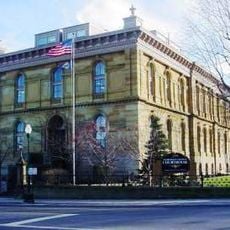
Fairfield County Courthouse
14.5 km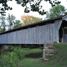
Bergstresser/Dietz Covered Bridge
12.2 km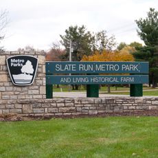
Slate Run Metro Park
17.1 km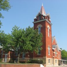
Groveport United Methodist Church
18.3 km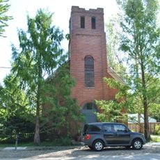
Bethel Baptist Church
19 km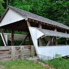
Rock Mill Covered Bridge
9.6 km
Winegardner Village
20.4 km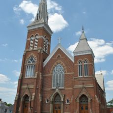
St. Peter's Evangelical Lutheran Church
14 km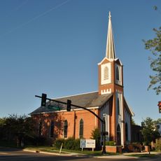
David's Reformed Church
11.6 km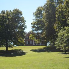
John Artz Farmhouse
20 km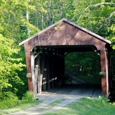
Hizey Covered Bridge
9.9 km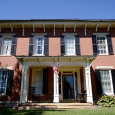
Lyman Allen House and Barn
18 km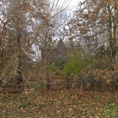
Perrill-Goodman Farmhouse
18.4 km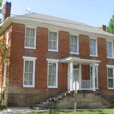
Joseph Ijams House
20.7 km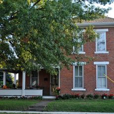
Arendt–Seymour House
11.5 km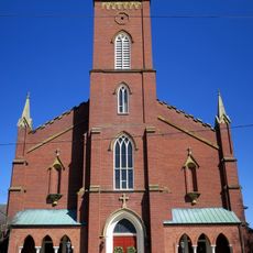
Basilica of St. Mary of the Assumption (Lancaster, Ohio)
14.5 km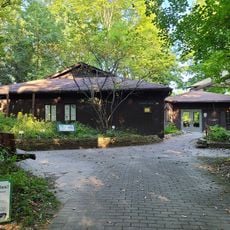
Blacklick Woods Nature Center
16.2 km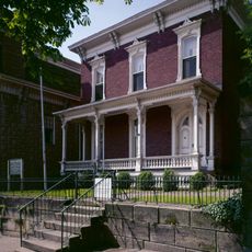
John Sherman Birthplace
14.5 km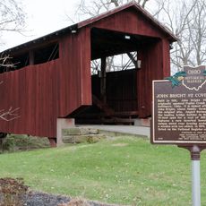
John Bright Covered Bridge
153 m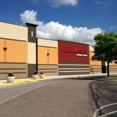
Cinemark River Valley Mall and XD
11.7 kmReviews
Visited this place? Tap the stars to rate it and share your experience / photos with the community! Try now! You can cancel it anytime.
Discover hidden gems everywhere you go!
From secret cafés to breathtaking viewpoints, skip the crowded tourist spots and find places that match your style. Our app makes it easy with voice search, smart filtering, route optimization, and insider tips from travelers worldwide. Download now for the complete mobile experience.

A unique approach to discovering new places❞
— Le Figaro
All the places worth exploring❞
— France Info
A tailor-made excursion in just a few clicks❞
— 20 Minutes