
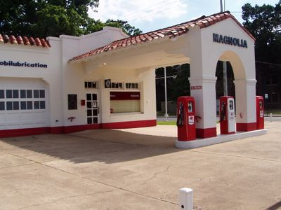
Magnolia Mobil Gas Station
Location: Little Rock
Inception: 1920s
GPS coordinates: 34.73753,-92.29751
Latest update: April 1, 2025 10:54
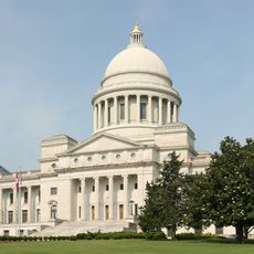
Arkansas State Capitol
1.3 km
Ten Commandments Monument
1.2 km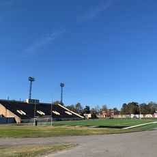
Quigley Stadium
389 m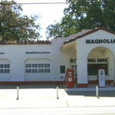
Central High School Neighborhood Historic District
698 m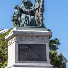
Monument to Confederate Women
1.2 km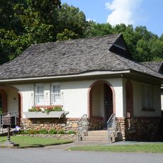
Roselawn Memorial Park Gatehouse
979 m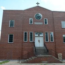
St. Peter's Rock Baptist Church
862 m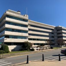
National Old Line Insurance Company Building
1.3 km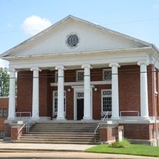
Associate Reformed Presbyterian Church
1.3 km
Scipio A. Jones House
1.2 km
Bush-Dubisson House
1.3 km
Thornton House
795 m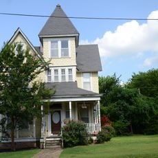
Compton-Wood House
1 km
James Mitchell School
1.1 km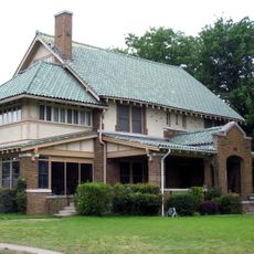
M. E. Dunaway House
951 m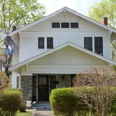
Bush House
1.2 km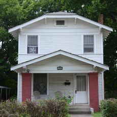
Henderson House
1.3 km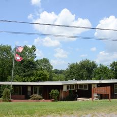
Julian Bunn Davidson House
1.1 km
John Henry Clayborn House
545 m
Green House
1.3 km
Lamb-McSwain House
979 m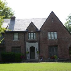
Maxwell F. Mayer House
921 m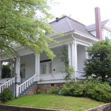
J. P. Runyan House
204 m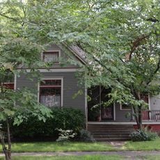
W. R. Stewart House
215 m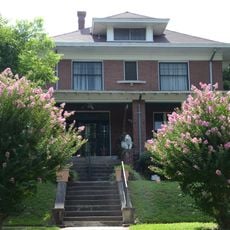
Pearson–Robinson House
844 m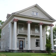
Charles Clary Waters House
1.1 km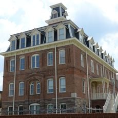
Old Main Building, Arkansas Baptist College
743 m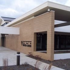
Little Rock Central High School National Historic Site Visitor Center
71 mReviews
Visited this place? Tap the stars to rate it and share your experience / photos with the community! Try now! You can cancel it anytime.
Discover hidden gems everywhere you go!
From secret cafés to breathtaking viewpoints, skip the crowded tourist spots and find places that match your style. Our app makes it easy with voice search, smart filtering, route optimization, and insider tips from travelers worldwide. Download now for the complete mobile experience.

A unique approach to discovering new places❞
— Le Figaro
All the places worth exploring❞
— France Info
A tailor-made excursion in just a few clicks❞
— 20 Minutes