Enable Location

We need your location to show you interesting places around you

Discover nearby places

Find interesting locations and hidden gems around you

Precise directions

Get accurate directions and distances to places

Your location is never shared with other users. It's only used when you tap the location button.

Central High School Neighborhood Historic District

Log in to your account

Start exploring — it's free

Trusted by 62,806 travelers worldwide

Continue with Google
Continue with Apple
or

We will send you a code to connect

By continuing, you accept our Terms and Conditions and our Privacy Policy

Check your inbox

We've sent a pincode in your inbox. Please enter the code below.

Central High School Neighborhood Historic District

Central High School Neighborhood Historic District, National Historic Site in Little Rock, United States.

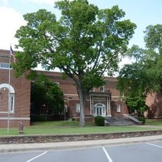
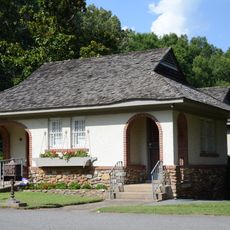
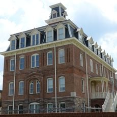
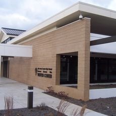
Central High School Neighborhood Historic District encompasses the school building constructed in 1927, featuring elaborate Gothic Revival and Art Deco design elements throughout its structure. The district also includes surrounding residential blocks and a visitor center located at 2120 West Daisy Gatson Bates Drive, which houses exhibits and educational materials.

The district became nationally significant in 1957 when nine African American students sought to enroll at the previously segregated school, prompting direct federal intervention. This event marked a turning point in the nationwide push for school desegregation and civil rights.

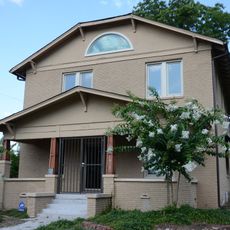
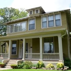
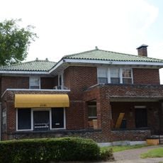
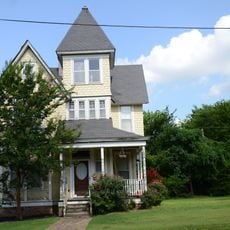
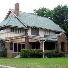
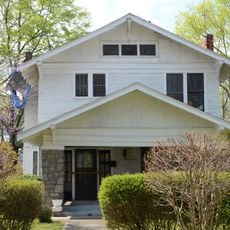
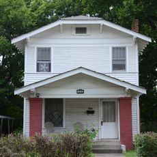
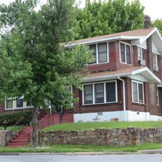
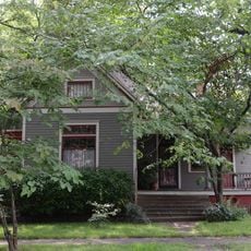
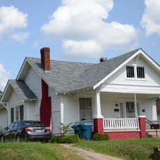
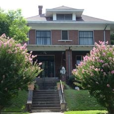
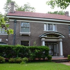
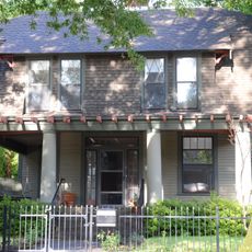
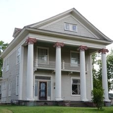
The neighborhood serves as a focal point in American civil rights history, where school integration efforts became tangible and visible to the community. The area reflects how people today continue to engage with and commemorate these transformative events.

The visitor center at 2120 West Daisy Gatson Bates Drive offers guided tours and educational programs that walk through the history and significance of the site. Allow extra time to explore both the building and the surrounding neighborhood on foot to fully appreciate the context and scale of the district.

The school building still operates as an active secondary school, making it the only high school in the United States located within the boundaries of a federal historic site. This blend of living history and daily education creates an unusual dynamic where past events remain tangibly connected to the present day.

The community of curious travelers

AroundUs brings together thousands of curated places, local tips, and hidden gems, enriched daily by 60,000 contributors worldwide.

Start exploring
Location
GPS coordinates
34.73234,-92.29324
Latest update
December 14, 2025 17:42
Around this place
Quigley Stadium
United States of America

Quigley Stadium

925 m
Cornish House
United States of America

Cornish House

1.2 km
U.M. Rose School
United States of America

U.M. Rose School

1.2 km
Roselawn Memorial Park Gatehouse
United States of America

Roselawn Memorial Park Gatehouse

1 km
St. Peter's Rock Baptist Church
United States of America

St. Peter's Rock Baptist Church

517 m
Paul Laurence Dunbar School Neighborhood Historic District
United States of America

Paul Laurence Dunbar School Neighborhood Historic District

824 m
Scipio A. Jones House
United States of America

Scipio A. Jones House

592 m
Miller House
United States of America

Miller House

732 m
Thornton House
United States of America

Thornton House

625 m
Bush-Dubisson House
United States of America

Bush-Dubisson House

951 m
Compton-Wood House
United States of America

Compton-Wood House

1.3 km
James Mitchell School
United States of America

James Mitchell School

525 m
M. E. Dunaway House
United States of America

M. E. Dunaway House

333 m
Bush House
United States of America

Bush House

858 m
Henderson House
United States of America

Henderson House

928 m
John Henry Clayborn House
United States of America

John Henry Clayborn House

340 m
Green House
United States of America

Green House

612 m
Lamb-McSwain House
United States of America

Lamb-McSwain House

779 m
Maxwell F. Mayer House
United States of America

Maxwell F. Mayer House

303 m
J. P. Runyan House
United States of America

J. P. Runyan House

500 m
W. R. Stewart House
United States of America

W. R. Stewart House

546 m
Womack House
United States of America

Womack House

741 m
Pearson–Robinson House
United States of America

Pearson–Robinson House

162 m
Sanders House
United States of America

Sanders House

1.2 km
Croxson House
United States of America

Croxson House

1.2 km
Charles Clary Waters House
United States of America

Charles Clary Waters House

447 m
Old Main Building, Arkansas Baptist College
United States of America

Old Main Building, Arkansas Baptist College

420 m
Little Rock Central High School National Historic Site Visitor Center‎
United States of America

Little Rock Central High School National Historic Site Visitor Center‎

751 m
Show the full map
« Central High School Neighborhood Historic District - National Historic Site in Little Rock, United States » is provided by Around Us (aroundus.com). Images and texts are derived from Wikimedia project under a Creative Commons license. You are allowed to copy, distribute, and modify copies of this page, under the conditions set by the license, as long as this note is clearly visible.

Discover hidden gems everywhere you go!

From secret cafés to breathtaking viewpoints, skip the crowded tourist spots and find places that match your style. Our app makes it easy with voice search, smart filtering, route optimization, and insider tips from travelers worldwide. Download now for the complete mobile experience.

Around Us App Screenshot

A unique approach to discovering new places

Le Figaro

All the places worth exploring

France Info

A tailor-made excursion in just a few clicks

20 Minutes

Around Us
Travel Guide & Maps
Download

Send to your phone

QR Code
1

Open the camera app on your mobile.

2

Point at the QR code with your camera. A notification will appear.

3

Tap the notification to open the link.