
Potomac River Bridge
Location: Jefferson County
Location: Washington County
Inception: 2005
GPS coordinates: 39.43647,-77.80174
Latest update: September 23, 2025 16:56


Antietam Creek
5.3 km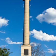
James Rumsey Monument
467 m
Shepherdstown Historic District
591 m
Ram Stadium
445 m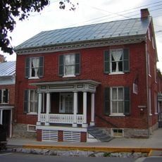
Conrad Shindler House
727 m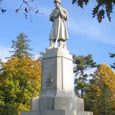
The American Volunteer
5.8 km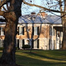
Van Swearingen-Shepherd House
408 m
Captain William Lucas and Robert Lucas House
4.5 km
George Washington Hollida House
6 km
Antietam National Cemetery
5.7 km
Morgan's Grove
2.3 km
Antietam Iron Furnace Site and Antietam Village
5.5 km
Falling Spring-Morgan's Grove
2.1 km
Shepherd's Mill
354 m
Morgan-Bedinger-Dandridge House
1.4 km
Mount Airy
3.2 km
Piper House
5.4 km
Jacob Highbarger House
4.9 km
Tolson's Chapel and School
5.2 km
Sharpsburg Historic District
5.1 km
William Chapline House
5.2 km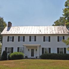
Orndoff-Cross House
5.1 km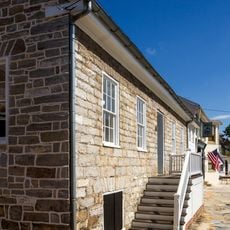
Good-Reilly House
5.2 km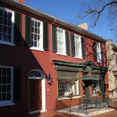
Joseph C. Hays House
5.1 km
Norfolk Southern Potomac River Bridge
541 m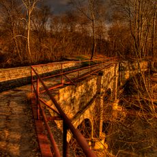
C&O Canal Antietam Creek Aqueduct
5.3 km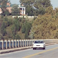
Potomac River Bridge
3 m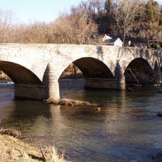
Antietam Ironworks Bridge
5.6 kmReviews
Visited this place? Tap the stars to rate it and share your experience / photos with the community! Try now! You can cancel it anytime.
Discover hidden gems everywhere you go!
From secret cafés to breathtaking viewpoints, skip the crowded tourist spots and find places that match your style. Our app makes it easy with voice search, smart filtering, route optimization, and insider tips from travelers worldwide. Download now for the complete mobile experience.

A unique approach to discovering new places❞
— Le Figaro
All the places worth exploring❞
— France Info
A tailor-made excursion in just a few clicks❞
— 20 Minutes