Regions of Wisconsin, Geographic divisions in Wisconsin, US
Wisconsin is divided into five main geographic regions: Western Upland, Eastern Ridges and Lowlands, Central Plain, Northern Highland, and Lake Superior Lowland. Each area has distinct terrain features, ranging from rolling hills to flat plains.
The geographic boundaries were defined by professor Lawrence Martin's research on Wisconsin's physical characteristics. This scientific classification helped reveal the natural differences that shaped the state's landscape.
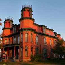
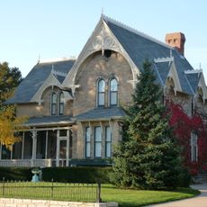
Each region maintains its own local character, from Native American traditions in the north to traces of German settlement in the east. These different roots still shape how communities look and function today.
When traveling through the state, you will notice how the landscape and climate shift from one region to another. A car is the most practical way to explore these areas, as distances between regions are substantial.
The Driftless Area in the southwest escaped glaciation, giving it a completely different soil composition and rolling terrain. This geological quirk creates unique valleys and canyons that set it apart from the rest of the state.
The community of curious travelers
AroundUs brings together thousands of curated places, local tips, and hidden gems, enriched daily by 60,000 contributors worldwide.