
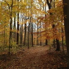
Footpath from Glenside to Oakridge, a footpath in Summit, New Jersey
Location: Summit
Length: 420 m
GPS coordinates: 40.70330,-74.36238
Latest update: June 13, 2024 14:21
Watchung Reservation
1 km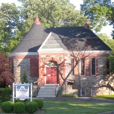
Summit Playhouse
1.3 km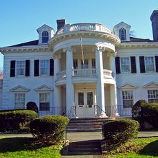
Twin Maples
1.9 km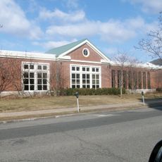
Summit Free Public Library
1.3 km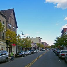
Summit Downtown Historic District
1.3 km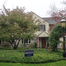
118 Prospect St, Summit, NJ
1.2 km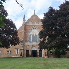
Dominican Monastery of Our Lady of the Rosary
1.5 km
Beacon Hill 5
1.7 km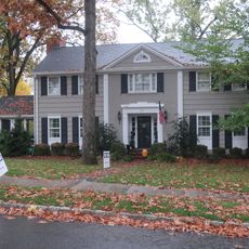
29 Druid Hill Road, Smmit, NJ
395 m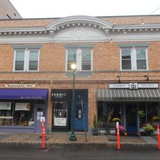
Record Building
1.6 km
41 Sweetbriar Road, Summit, NJ
990 m
25 Madison Ave, Summit, NJ
2.4 km
24 Oak Ridge Ave, Summit, NJ
880 m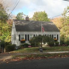
49 Baltusrol Road, Summit, NJ
821 m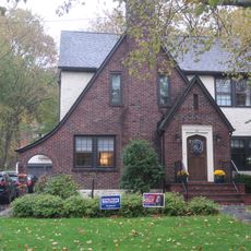
34 Laurel Avenue, Summi, NJ
459 m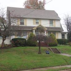
599 Springfield Avenue, Summit, NJ
1.5 km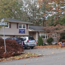
17 Stiles Road, Summit, NJ
656 m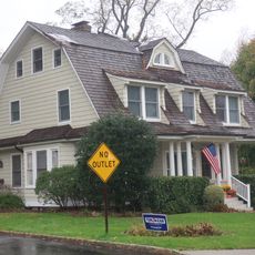
11 Blackburn Rd, Summit, NJ
1.3 km
Footpath between Edgar Street and the high school
2 km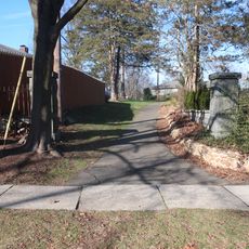
Footpath between Springfield and Nassau
1.5 km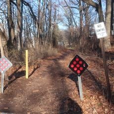
Sylvan Lane Footpath
1.1 km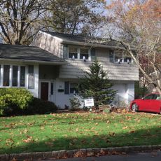
34 Stockton Road, Summit, NJ
693 m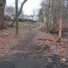
Footpath from Colonial to West End
2 km
Footpath between Montrose Avenue and the high school
2.2 km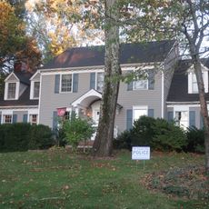
9 High Street, Summit, NJ
1.2 km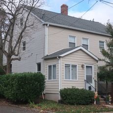
16 Middle Ave, Summit, NJ
2.7 km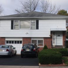
18 Middle Ave, Summit, NJ
2.8 km
Louie
1.5 kmReviews
Visited this place? Tap the stars to rate it and share your experience / photos with the community! Try now! You can cancel it anytime.
Discover hidden gems everywhere you go!
From secret cafés to breathtaking viewpoints, skip the crowded tourist spots and find places that match your style. Our app makes it easy with voice search, smart filtering, route optimization, and insider tips from travelers worldwide. Download now for the complete mobile experience.

A unique approach to discovering new places❞
— Le Figaro
All the places worth exploring❞
— France Info
A tailor-made excursion in just a few clicks❞
— 20 Minutes