
Schlachthofblock, städtische Wohnanlage in Innsbruck
Location: Innsbruck
Inception: 1925
Architects: Theodor Prachensky
GPS coordinates: 47.27486,11.41137
Latest update: March 3, 2025 18:17

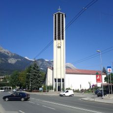
Pauluskirche
437 m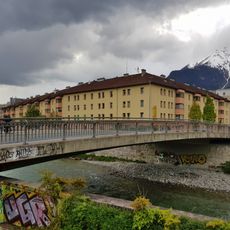
Prinz-Eugen-Brücke
169 m
Mozartstraße 2, Innsbruck
278 m
Kaiser-Franz-Joseph-Straße 5, Innsbruck
441 m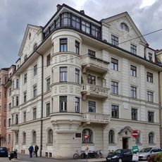
Haydnplatz 1, Innsbruck
433 m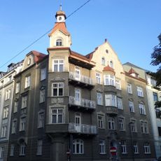
Schillerstraße 9, Innsbruck
338 m
Bienerstraße 21, Innsbruck
424 m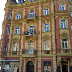
Zinsvilla
434 m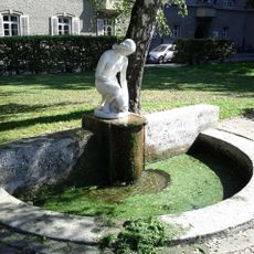
Brunnen, Mädchen mit Krug
388 m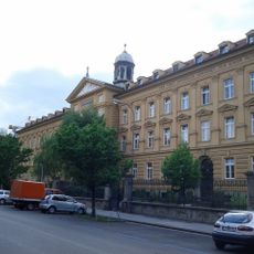
Städtisches Wohnheim Saggen
125 m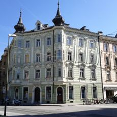
Claudiaplatz 2, Innsbruck
427 m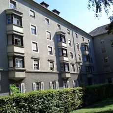
Haydnplatz 5, Innsbruck
377 m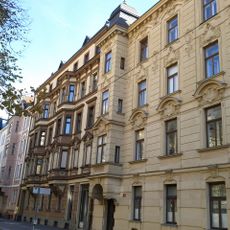
Miethaus
421 m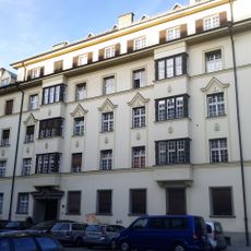
Miethaus
252 m
Erzherzog-Eugen-Straße 17, Innsbruck
304 m
Miethaus
429 m
Schillerstraße 17, Innsbruck
285 m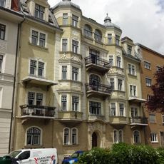
Miethaus
430 m
Ehem. Trainkaserne
80 m
Kaiser-Franz-Joseph-Straße 9, Innsbruck
426 m
Bürgerhaus
212 m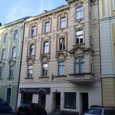
Miethaus
417 m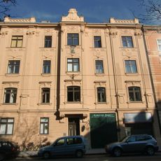
Miethaus
446 m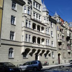
Miethaus
376 m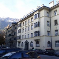
Schillerstraße 19, Innsbruck
272 m
Miethaus
446 m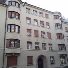
Miethaus
302 m
Miethaus
369 mReviews
Visited this place? Tap the stars to rate it and share your experience / photos with the community! Try now! You can cancel it anytime.
Discover hidden gems everywhere you go!
From secret cafés to breathtaking viewpoints, skip the crowded tourist spots and find places that match your style. Our app makes it easy with voice search, smart filtering, route optimization, and insider tips from travelers worldwide. Download now for the complete mobile experience.

A unique approach to discovering new places❞
— Le Figaro
All the places worth exploring❞
— France Info
A tailor-made excursion in just a few clicks❞
— 20 Minutes