Pa-aat Conservancy, protected area in British Columbia, Canada
Location: North Coast Regional District
GPS coordinates: 53.75861,-130.01861
Latest update: November 22, 2025 15:09

Banks Nii Łuutiksm Conservancy
37.5 km
Klewnuggit Inlet Marine Provincial Park
22.4 km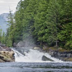
Lowe Inlet Marine Provincial Park
36.3 km
K'mooda/Lowe-Gamble Conservancy
44.3 km
Alty Conservancy
41.7 km
Ecstall-Sparkling Conservancy
22.4 km
Gunboat Harbour Conservancy
19.6 km
Simpson Lake East Conservancy
37.6 km
Klewnuggit Conservancy
25.2 km
K'waal Conservancy
43.4 km
Ecstall-Spokskuut Conservancy
37.6 km
Raspberry Bluff
47.4 km
Marked Tree Bluff
35.8 km
Verney Falls
37.4 km
Purple Cliff
20.1 km
Freda Rapids
23 km
Skeena River
42.5 km
Mark Bluff
36.8 km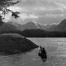
Lowe Inlet
36.5 km
Gitxaala Nii Luutiksm/Kitkatla Conservancy
39.3 km
Waterfall
40.5 km
Verney Falls
37.3 km
Waterfall
39.1 km
Waterfall
37.5 km
Waterfall
38.7 km
Waterfall
45.6 km
Waterfall
46.2 km
Waterfall
46.2 kmReviews
Visited this place? Tap the stars to rate it and share your experience / photos with the community! Try now! You can cancel it anytime.
Discover hidden gems everywhere you go!
From secret cafés to breathtaking viewpoints, skip the crowded tourist spots and find places that match your style. Our app makes it easy with voice search, smart filtering, route optimization, and insider tips from travelers worldwide. Download now for the complete mobile experience.

A unique approach to discovering new places❞
— Le Figaro
All the places worth exploring❞
— France Info
A tailor-made excursion in just a few clicks❞
— 20 Minutes