
LSG-Stadtwald Rheydt, protected area in Germany
Location: Mönchengladbach
Inception: 1995
GPS coordinates: 51.16048,6.40504
Latest update: July 23, 2025 13:35
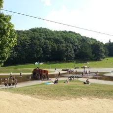
Rheydter Höhe
436 m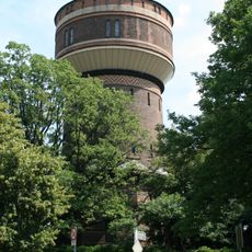
Wasserturm Rheydt
2.2 km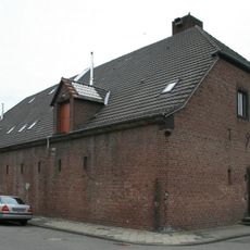
Ehemaliger Luftschutzbunker
2.3 km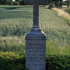
Ablasskreuz Schriefers
1.9 km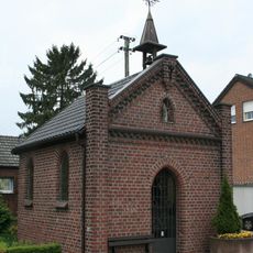
Kapelle St. Josef
2 km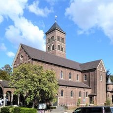
Herz Jesu
1.3 km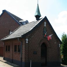
Kapelle Genhülsen
1.1 km
FohlenWelt
2.2 km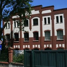
Watelerstraße 32
2.1 km
Aachener Straße 649
1.7 km
Pongser Straße 291
669 m
Rheindahlener Straße 136
731 m
Engelsholt 143
1.8 km
Watelerstraße 2-4
2.2 km
Morr 14
1.6 km
Wickrather Straße 39
2.5 km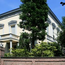
Goetersstraße 4
2.2 km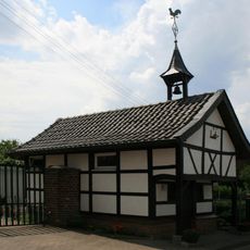
Zum hl. Antonius von Padua und Rochus
2.4 km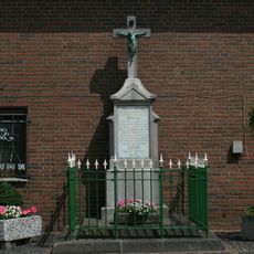
Wegekreuz Kothausen
2.1 km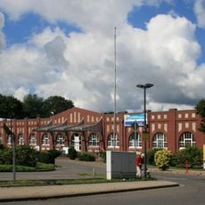
Textilfabrik Hammersen
458 m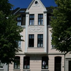
Siepensteg 28
731 m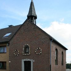
Kapelle Günhoven
2.1 km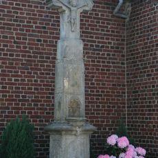
Wegekreuz Klusenstraße
1.1 km
Bäumchesweg 106
1.7 km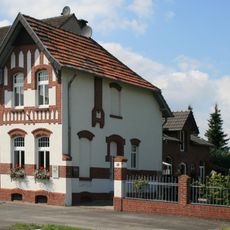
Stadtwaldstraße 349
1.6 km
Jüdischer Friedhof
2.4 km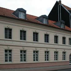
Bachstraße 48-50
2.4 km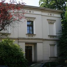
Goetersstraße 7
2.2 kmReviews
Visited this place? Tap the stars to rate it and share your experience / photos with the community! Try now! You can cancel it anytime.
Discover hidden gems everywhere you go!
From secret cafés to breathtaking viewpoints, skip the crowded tourist spots and find places that match your style. Our app makes it easy with voice search, smart filtering, route optimization, and insider tips from travelers worldwide. Download now for the complete mobile experience.

A unique approach to discovering new places❞
— Le Figaro
All the places worth exploring❞
— France Info
A tailor-made excursion in just a few clicks❞
— 20 Minutes