
Maria Heil der Kranken, Kirchengebäude in Bad Mergentheim
Location: Bad Mergentheim
Part of: Caritas-Krankenhaus Bad Mergentheim
GPS coordinates: 49.49124,9.76206
Latest update: March 11, 2025 13:32


Münster St. Johannes
788 m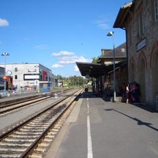
Bahnhof Bad Mergentheim
764 m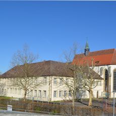
Dominikanerkloster Mergentheim
870 m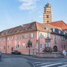
Deanery of Mergentheim
788 m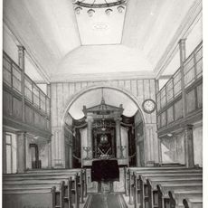
Synagoge
682 m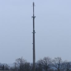
Drillbergturm
625 m
Johanniterkommende Mergentheim
865 m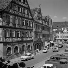
Hotel Straußen
784 m
City fortifications of Bad Mergentheim
567 m
Deutscher Hof
684 m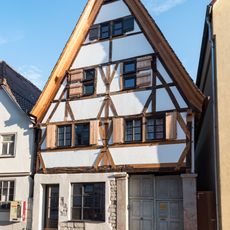
Ochsengasse 13 (Bad Mergentheim)
697 m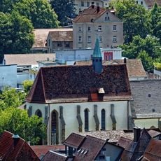
Marienkirche Bad Mergentheim
863 m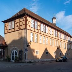
Kulturforum
827 m
Rathaus
727 m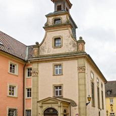
Spitalkapelle Bad Mergentheim
818 m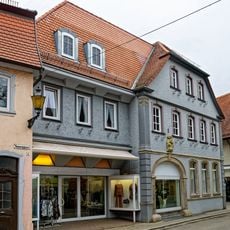
Wohnhaus Nonnengasse 5
845 m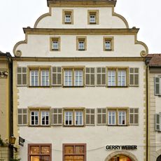
Büdelhof
868 m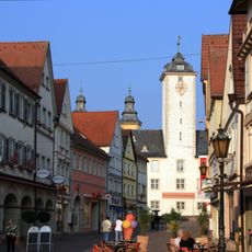
Pedestrian zones in Bad Mergentheim
845 m
Stolperstein dedicated to Fanny Furchheimer
922 m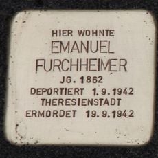
Stolperstein dedicated to Emanuel Furchheimer
921 m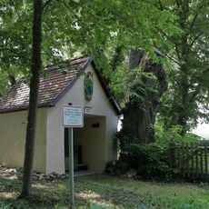
Trillbergkapelle
921 m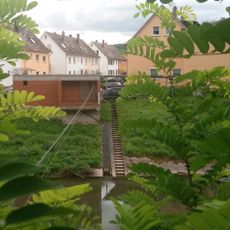
Pegelanlage Bad Mergentheim
913 m
Landratsamt Main-Tauber-Kreis – Jobcenter Main-Tauber (Außenstelle Bad Mergentheim)
732 m
Fachschule für Physiotherapie Bad Mergentheim
732 m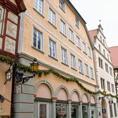
Wohn- und Geschäftshaus Marktplatz 14
786 m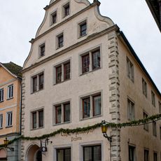
Wohn- und Geschäftshaus Marktplatz 12
785 m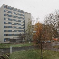
Berufsfachschule für Pflegeberufe Bad Mergentheim
41 m
2 Linden im Gewann Drillberg
916 mReviews
Visited this place? Tap the stars to rate it and share your experience / photos with the community! Try now! You can cancel it anytime.
Discover hidden gems everywhere you go!
From secret cafés to breathtaking viewpoints, skip the crowded tourist spots and find places that match your style. Our app makes it easy with voice search, smart filtering, route optimization, and insider tips from travelers worldwide. Download now for the complete mobile experience.

A unique approach to discovering new places❞
— Le Figaro
All the places worth exploring❞
— France Info
A tailor-made excursion in just a few clicks❞
— 20 Minutes