
Stadtbefestigung, cultural heritage monument D-3-76-119-2 (0) in Burglengenfeld, Bavaria
Location: Burglengenfeld
Address: Kellergasse 28,Stadtgraben 3
GPS coordinates: 49.20690,12.03784
Latest update: July 16, 2025 12:32
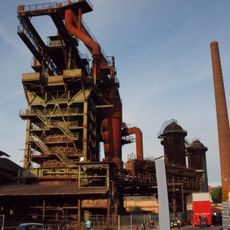
Maxhütte
3.6 km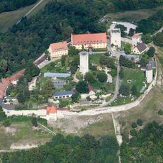
Burg Burglengenfeld
542 m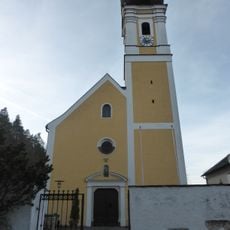
Mariä Heimsuchung
2.7 km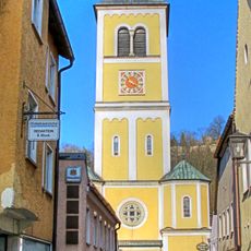
St. Vitus
285 m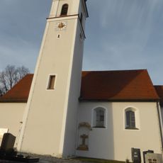
St. Martin
3.4 km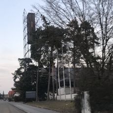
St. Josef
1.4 km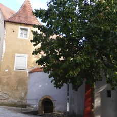
Almenhof, Beim Klingentor
317 m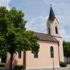
St. Sebastian
414 m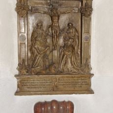
Epitaph of Bernhard von Hyrnhaim in St. Vitus (Burglengenfeld)
297 m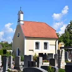
Friedhofkapelle St. Anna
424 m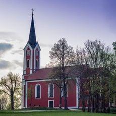
Katholische Kreuzbergkirche Hl. Dreifaltigkeit
331 m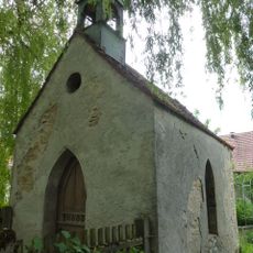
Feldkapelle
2.9 km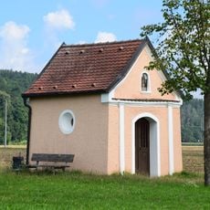
Feldkapelle
2.7 km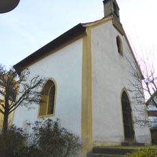
Ehemalige Friedhofskapelle
2.7 km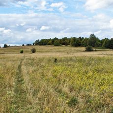
Oberes Naabtal: Münchshofer Berg mit Brunnberg von Burglengenfeld
2.6 km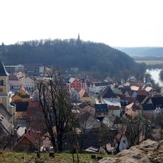
Kreuzberg von Burglengenfeld
493 m
Unteres Naabtal: Feldkreuz nördlich Zaar bis Burglengenfeld (Westseite)
3.7 km
Burgberg von Burglengenfeld
563 m
Wohnhaus
416 m
Wohn- und Geschäftshaus
392 m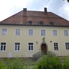
Ehemaliges Postamt
460 m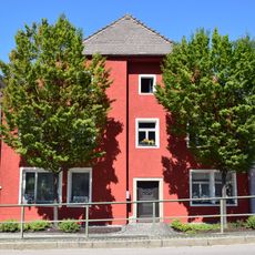
Wohnhaus
381 m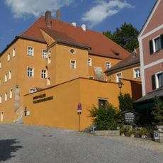
Ehemaliges Pfleghaus, heute Oberpfälzer Volkskundemuseum
345 m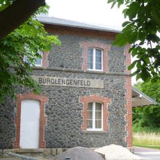
Station building at Burglengenfeld station
501 m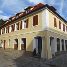
Ehemalige Burgapotheke
275 m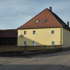
Ehemaliger Zweiseithof, ehemaliges Wohnstallhaus
2.7 km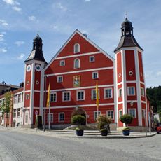
Rathaus
116 m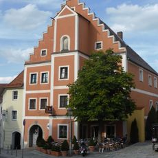
Gasthaus Pfälzerhof
186 mReviews
Visited this place? Tap the stars to rate it and share your experience / photos with the community! Try now! You can cancel it anytime.
Discover hidden gems everywhere you go!
From secret cafés to breathtaking viewpoints, skip the crowded tourist spots and find places that match your style. Our app makes it easy with voice search, smart filtering, route optimization, and insider tips from travelers worldwide. Download now for the complete mobile experience.

A unique approach to discovering new places❞
— Le Figaro
All the places worth exploring❞
— France Info
A tailor-made excursion in just a few clicks❞
— 20 Minutes