
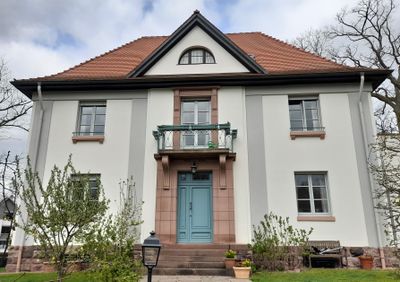
Ehem. Höhere Bürgerschule
Location: Dreieich
Address: Kirchweg 2
GPS coordinates: 50.02494,8.66800
Latest update: March 6, 2025 16:51
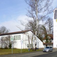
Evangelische Kirche
126 m
Falltorweg 7
233 m
Ernst-Ludwig-Allee 23
190 m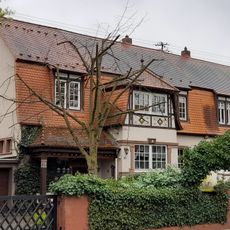
Ernst-Ludwig-Allee 17-19
232 m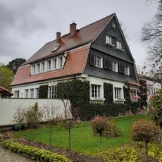
Haus Hengstbachanlage 10
151 m
Haus Kohlseeweg 3
210 m
Haus Bogenweg 8
188 m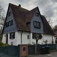
Haus Bogenweg 14
259 m
Haus Kohlseeweg 1
232 m
Haus Ernst-Ludwig-Allee 15
260 m
Haus Wildscheuerweg 14
262 m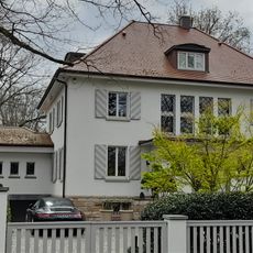
Haus Kirchweg 7
117 m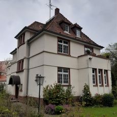
Haus Kohlseeweg 11
188 m
Haus Kohlseeweg 15
209 m
Haus Bogenweg 6
165 m
Haus Kohlseeweg 5
199 m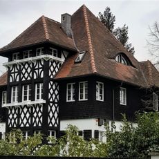
Haus Kohlseeweg 7
187 m
Haus Kohlseeweg 9
188 m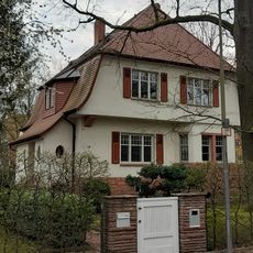
Haus Hainer Trift 10
257 m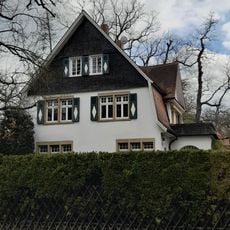
Haus Hainer Trift 4
165 m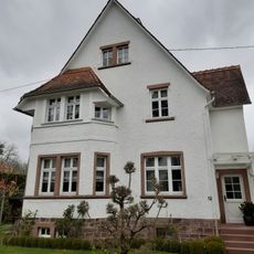
Haus Wildscheuerweg 12
276 m
Haus Hainer Trift 8
222 m
Haus Hainer Trift 7
232 m
Haus Buchweg 12
167 m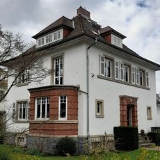
Haus Buchweg 18
231 m
Haus Hengstbachanlage 6
132 m
Haus Buchweg 1
63 m
Haus Bogenweg 4
152 mVisited this place? Tap the stars to rate it and share your experience / photos with the community! Try now! You can cancel it anytime.
Discover hidden gems everywhere you go!
From secret cafés to breathtaking viewpoints, skip the crowded tourist spots and find places that match your style. Our app makes it easy with voice search, smart filtering, route optimization, and insider tips from travelers worldwide. Download now for the complete mobile experience.

A unique approach to discovering new places❞
— Le Figaro
All the places worth exploring❞
— France Info
A tailor-made excursion in just a few clicks❞
— 20 Minutes