
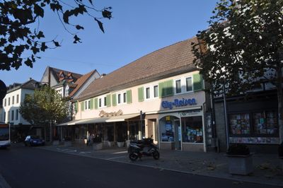
Wohnhaus, هيكل معماري في باد هومبورغ (فور در هوهه)، ألمانيا
Location: Bad Homburg vor der Höhe
Address: Louisenstraße 4–6
GPS coordinates: 50.22897,8.61225
Latest update: March 2, 2025 20:13
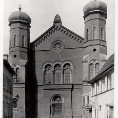
Synagogue of Bad Homburg
165 m
Louisenstraße 5
25 m
Wohnhaus
90 m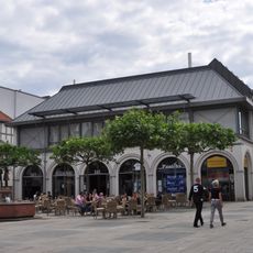
Wohn- und Geschäftshaus
101 m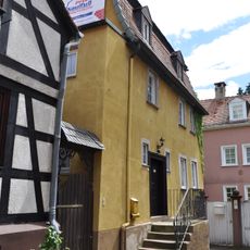
Fachwerkwohnhaus
171 m
Ehem. jüdisches Gemeindezentrum
135 m
Wohnhaus
185 m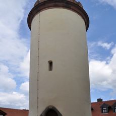
Schulturm
171 m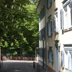
Wohnhaus und Scheune
96 m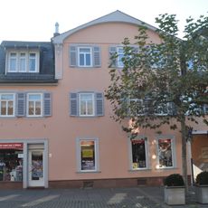
Wohnhaus
34 m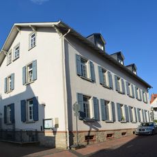
Kindergarten
100 m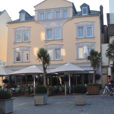
Wohnhaus
47 m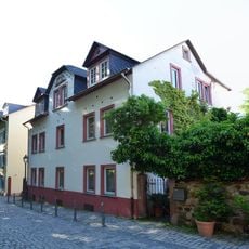
Wohnhaus
99 m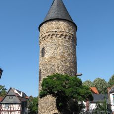
Rathausturm
139 m
Wohnhaus
130 m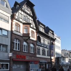
Wohn- und Geschäftshaus
131 m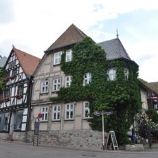
Fachwerkwohnhaus
182 m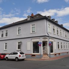
Wohnhaus
163 m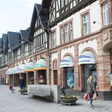
Wohn- und Geschäftshaus
78 m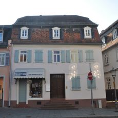
Wohnhaus
38 m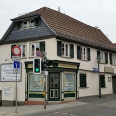
Fachwerkwohnhaus
99 m
Wohnhaus
145 m
Wohnhaus
165 m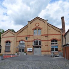
Ehem. Elektrizitätswerk
163 m
Wohnhaus
102 m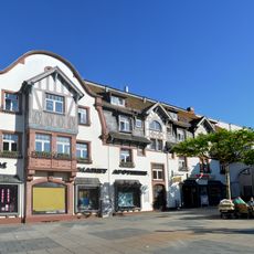
Wohn- und Geschäftshaus
122 m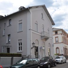
Wohnhaus
181 m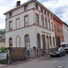
Wohnhaus
170 mReviews
Visited this place? Tap the stars to rate it and share your experience / photos with the community! Try now! You can cancel it anytime.
Discover hidden gems everywhere you go!
From secret cafés to breathtaking viewpoints, skip the crowded tourist spots and find places that match your style. Our app makes it easy with voice search, smart filtering, route optimization, and insider tips from travelers worldwide. Download now for the complete mobile experience.

A unique approach to discovering new places❞
— Le Figaro
All the places worth exploring❞
— France Info
A tailor-made excursion in just a few clicks❞
— 20 Minutes