
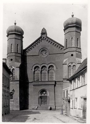
Synagogue of Bad Homburg, synagogue allemande
Location: Bad Homburg vor der Höhe
Inception: 1866
GPS coordinates: 50.23042,8.61270
Latest update: March 18, 2025 04:23
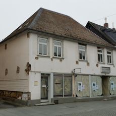
Louisenstraße 5
188 m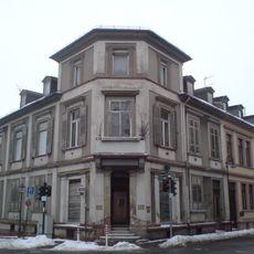
Haus Höhestraße 18
117 m
Wohnhaus
81 m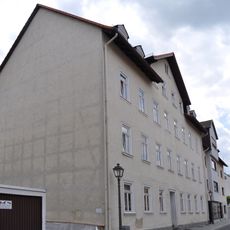
Ehem. jüdisches Gemeindezentrum
39 m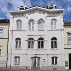
Wohnhaus
171 m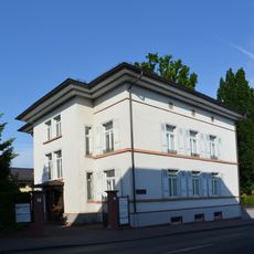
Villa und Nebengebäude
149 m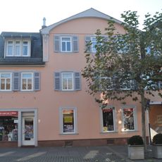
Wohnhaus
188 m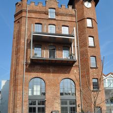
Brauereiturm
173 m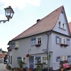
Fachwerkwohnhaus
184 m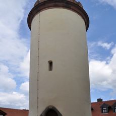
Schulturm
162 m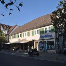
Wohnhaus
165 m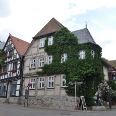
Fachwerkwohnhaus
112 m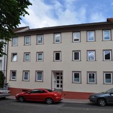
Wohnhaus
110 m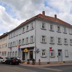
Wohnhaus
108 m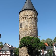
Rathausturm
135 m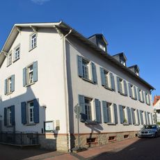
Kindergarten
109 m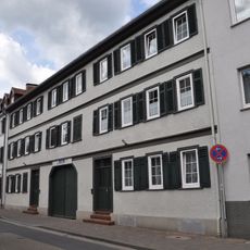
Wohnhaus
105 m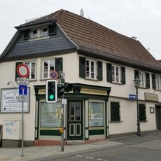
Fachwerkwohnhaus
173 m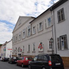
Wohnhaus
120 m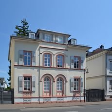
Wohnhaus
98 m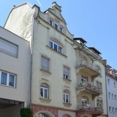
Wohnhaus
74 m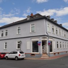
Wohnhaus
97 m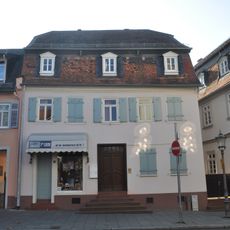
Wohnhaus
183 m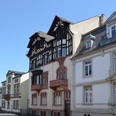
Wohnhaus
188 m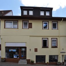
Fachwerkwohnhaus
171 m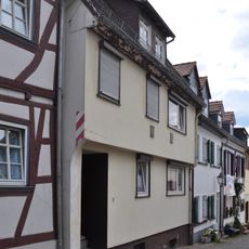
Fachwerkwohnhaus
147 m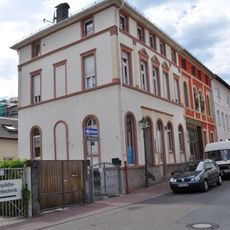
Wohnhaus
178 m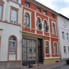
Wohnhaus
169 mReviews
Visited this place? Tap the stars to rate it and share your experience / photos with the community! Try now! You can cancel it anytime.
Discover hidden gems everywhere you go!
From secret cafés to breathtaking viewpoints, skip the crowded tourist spots and find places that match your style. Our app makes it easy with voice search, smart filtering, route optimization, and insider tips from travelers worldwide. Download now for the complete mobile experience.

A unique approach to discovering new places❞
— Le Figaro
All the places worth exploring❞
— France Info
A tailor-made excursion in just a few clicks❞
— 20 Minutes