
Wasserturm, هيكل معماري في فرانكفورت، ألمانيا
Location: Frankfurt
Address: Oberwald (Kilianstädter Straße)
GPS coordinates: 50.13749,8.77288
Latest update: March 14, 2025 15:20

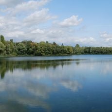
Schultheisweiher
846 m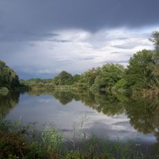
Enkheimer Ried
2 km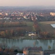
Mainbogen
1.6 km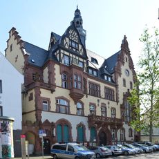
Rathaus
1.7 km
Arthur-von-Weinberg-Steg
1.4 km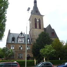
Herz Jesu Fechenheim
1.3 km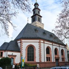
Melanchton church Fechenheim
1.7 km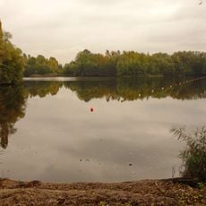
Rumpenheimer und Bürgeler Kiesgruben
856 m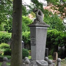
War memorial Rumpenheim
1.7 km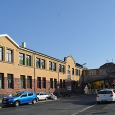
Gerhard-Becker-Straße 15
2 km
Versandhaus der Josef Neckermann KG
2 km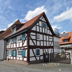
Untergasse 11
2 km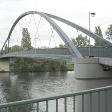
Arthur-von-Weinberg-Steg
1.4 km
Haus Neugasse 8
1.9 km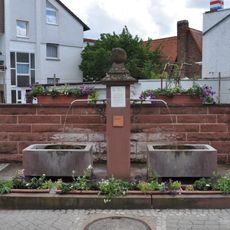
Röhrborn
1.8 km
Haus Riedstraße 31
1.8 km
Alte Mühle
2 km
Haus Dörnigheimer Straße 13
1.9 km
Haus Neugasse 11
1.9 km
Haus Breite Straße 19
1.9 km
Haus Riedstraße 30
1.8 km
Haus Riedstraße 31a
1.8 km
Ehemaliges Rathaus
2 km
Van Kaick'sches Hofgut
1.8 km
Dörnigheimer Straße 3
1.9 km
Haus Mainkurstraße 8
1.8 km
Haus Neugasse 10
1.9 km
Haus Breite Straße 23
1.9 kmReviews
Visited this place? Tap the stars to rate it and share your experience / photos with the community! Try now! You can cancel it anytime.
Discover hidden gems everywhere you go!
From secret cafés to breathtaking viewpoints, skip the crowded tourist spots and find places that match your style. Our app makes it easy with voice search, smart filtering, route optimization, and insider tips from travelers worldwide. Download now for the complete mobile experience.

A unique approach to discovering new places❞
— Le Figaro
All the places worth exploring❞
— France Info
A tailor-made excursion in just a few clicks❞
— 20 Minutes