
Lamstedt, municipality of Germany
Location: Börde Lamstedt
Elevation above the sea: 26 m
Website: http://lamstedt.de
GPS coordinates: 53.63499,9.10127
Latest update: March 3, 2025 08:08
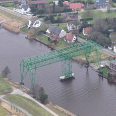
Osten Transporter Bridge
8.5 km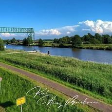
Schwebefähre Oste
8.6 km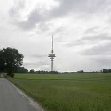
Fernmeldeturm Lamstedt
3.4 km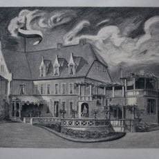
Geesthof
6.9 km
Langes Moor
8.8 km
Norddeutsches Radiomuseum
497 m
Balksee und Randmoore/ Basmoor und Nordahner Holz
7.8 km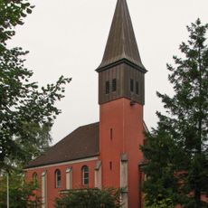
St.-Ansgar-Kirche
7.3 km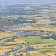
Osteschleifen
6.3 km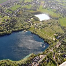
Grabhügel im Postels Busch
7.3 km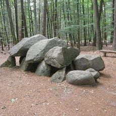
Grosssteingrab Steinofen
3.7 km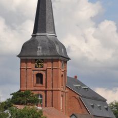
St.-Petri-Kirche (Osten)
8.7 km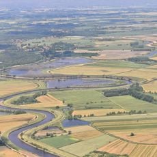
Wiesen- und Weidenflächen an der Oste
6 km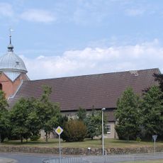
St. Bartholomäus (Lamstedt)
301 m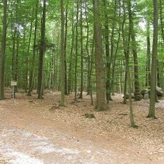
Westerberg und oberes Hackemühlener Bachtal
3.4 km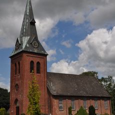
St. Michaelis
7.7 km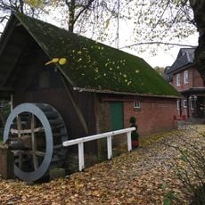
Hollen water mill
5.7 km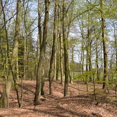
Burganlage bei der Pulvermühle
4.6 km
Hemmoorium/0rd- und frühgeschichtliches Museum Hemmoor
7.9 km
Deutsches Zementmuseum Hemmoor
7.9 km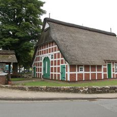
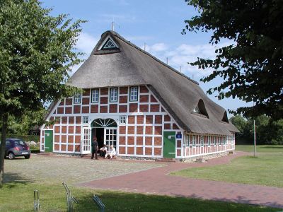
Bördemuseum
417 m
Balksee und Randmoore, Nordahner Holz
7.4 km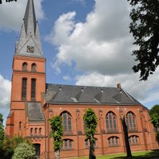
Christuskirche
7.6 km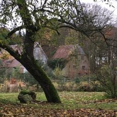
Pulvermühle Heeßel
4.8 km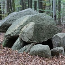
Lamstedt Steenaben
3.7 km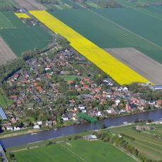
Ostebrücke
8.4 km
Nordahner Holz
5.5 km
Westerberge bei Rahden
3.1 kmVisited this place? Tap the stars to rate it and share your experience / photos with the community! Try now! You can cancel it anytime.
Discover hidden gems everywhere you go!
From secret cafés to breathtaking viewpoints, skip the crowded tourist spots and find places that match your style. Our app makes it easy with voice search, smart filtering, route optimization, and insider tips from travelers worldwide. Download now for the complete mobile experience.

A unique approach to discovering new places❞
— Le Figaro
All the places worth exploring❞
— France Info
A tailor-made excursion in just a few clicks❞
— 20 Minutes